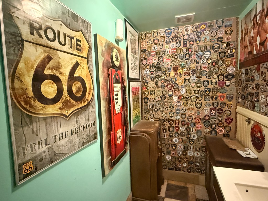
Finally, Trini and I are back in the Sin City, and there really is “no place like home!” We drove a total of more than 1,500 miles (that’s more than halfway from Los Angeles CA to New York City)! The drive was tiring and frustrating at times but it was all worth it. We’ve had many road trips in the past that were longer than this one but I consider the Route 66 journey as the best cultural and historical experience we’ve ever had! Driving in shifting landscapes, from well-paved to rutted roads, along “ghost” towns to booming cities, gawking at abandoned vehicles and watching faded trading signs that could have been living proof of the disappearing thriving businesses many decades ago allowed us to appreciate the significance of the Mother of Highways.
Route 66 is inseparable from the mythology of the American Dream, and Arizona’s portion of the road tells that story vividly. During the Great Depression, thousands of families traveled west in search of work, opportunity, or a fresh start, with Route 66 serving as a vital conduit. The highway symbolized hope and freedom, a tangible path to a better life across open landscapes and through small towns that offered shelter, food, and services. The route also represented a democratization of travel. Cars became more accessible to middle-class families, and Arizona’s stretch of the highway offered scenic vistas, manageable terrain, and strategically placed towns. For travelers, Route 66 was a road to personal ambition, adventure, and discovery, embedding the state’s towns and landscapes into the larger cultural imagination of the United States.
Ponce, Mark. Arizona Route 66 Road Trip Guide: Where to Stay, Dine, Stop, and Drive the Mother Road (p. 14). (Function). Kindle Edition.
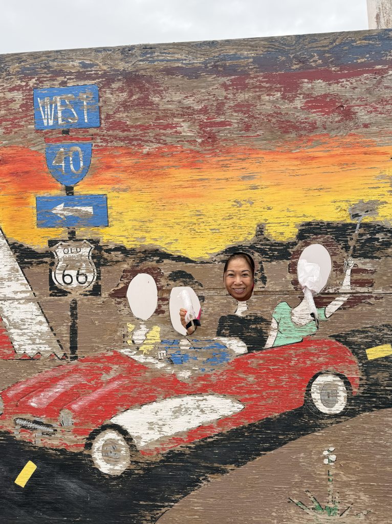
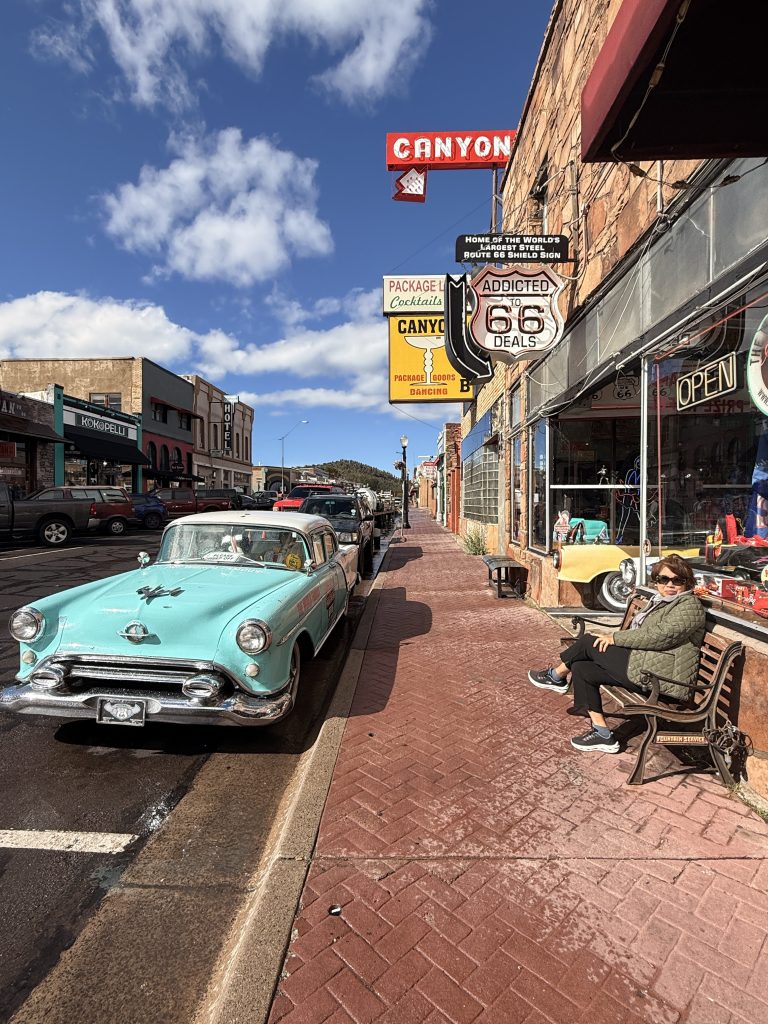
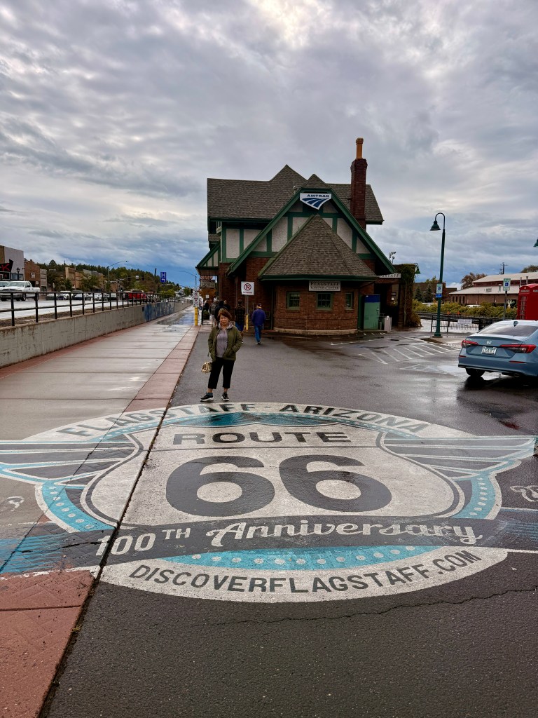
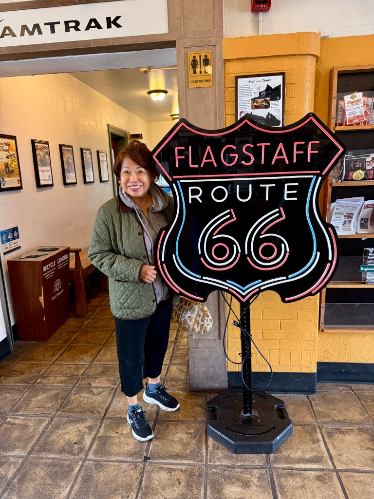
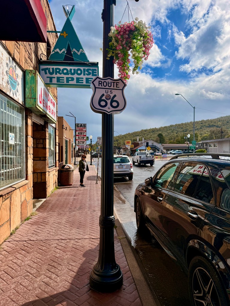
The rain did not stop all night but slightly abated just before we checked out around 9:00 am. Trini and I drove to the historical town to look for signs of Route 66. We found one outside of the Visitors Center! This vibrant district showcases preserved buildings, neon signs, and mid-century storefronts. Walking through downtown immerses travelers in Route 66 history, with a variety of shops, cafés, and antique stores reflecting the Mother Road’s heyday.
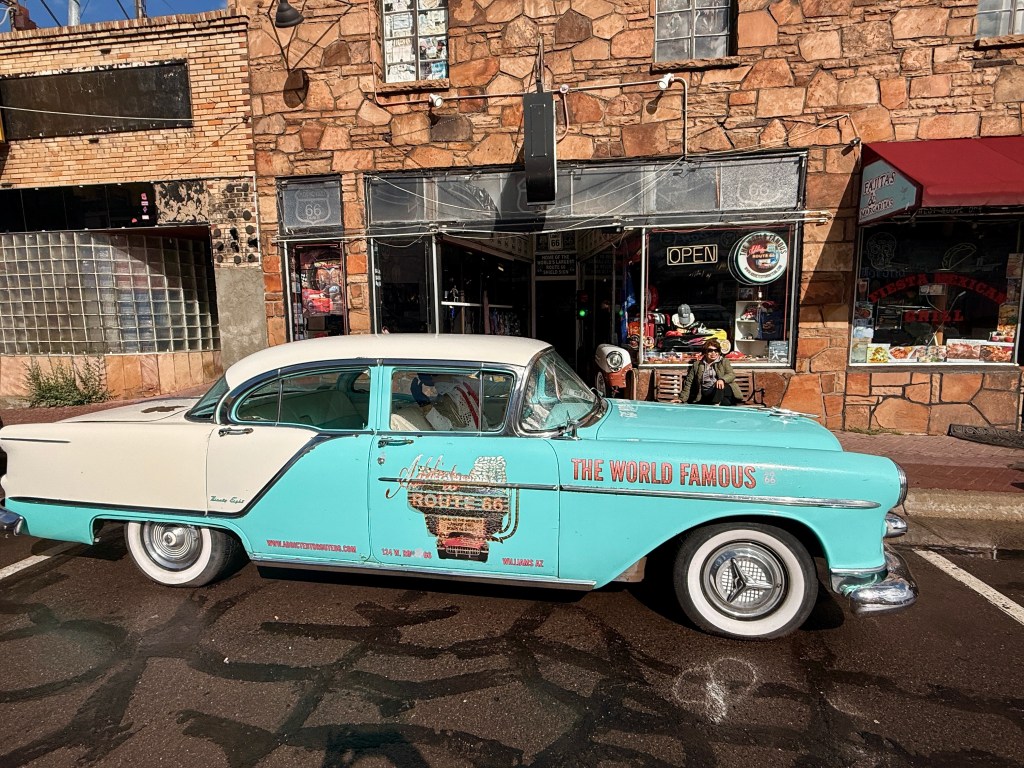
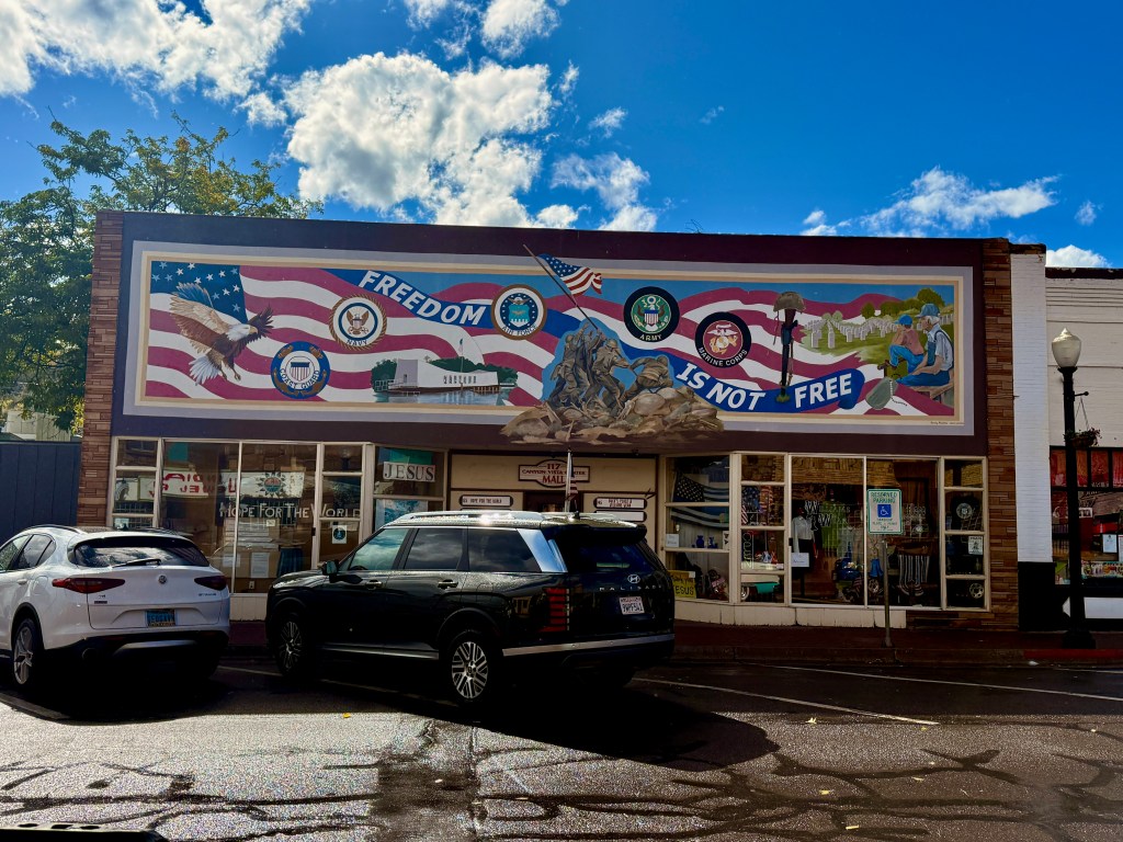
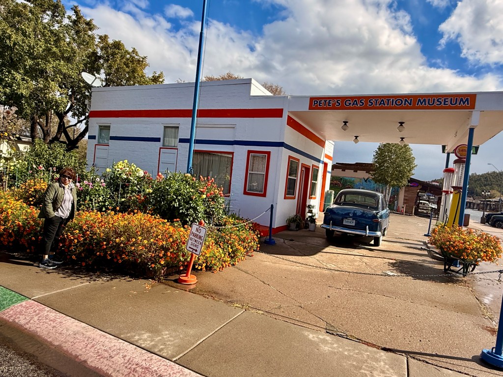
We left Flagstaff and the rain completely stopped. We now took I-40 since we already drove through Route 66. Trini needed a “pit stop” so we stopped by Williams (our first overnight stop in the overpriced mediocre hotel). Many of the stores were still closed or if they were open very few people were up and about at this time. I found a street parking (free!) and we walked around the quaint little town and took photos of interesting displays.
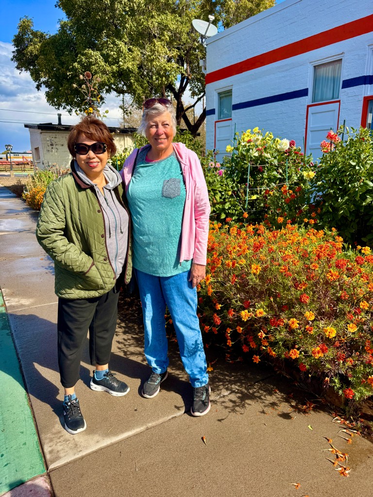
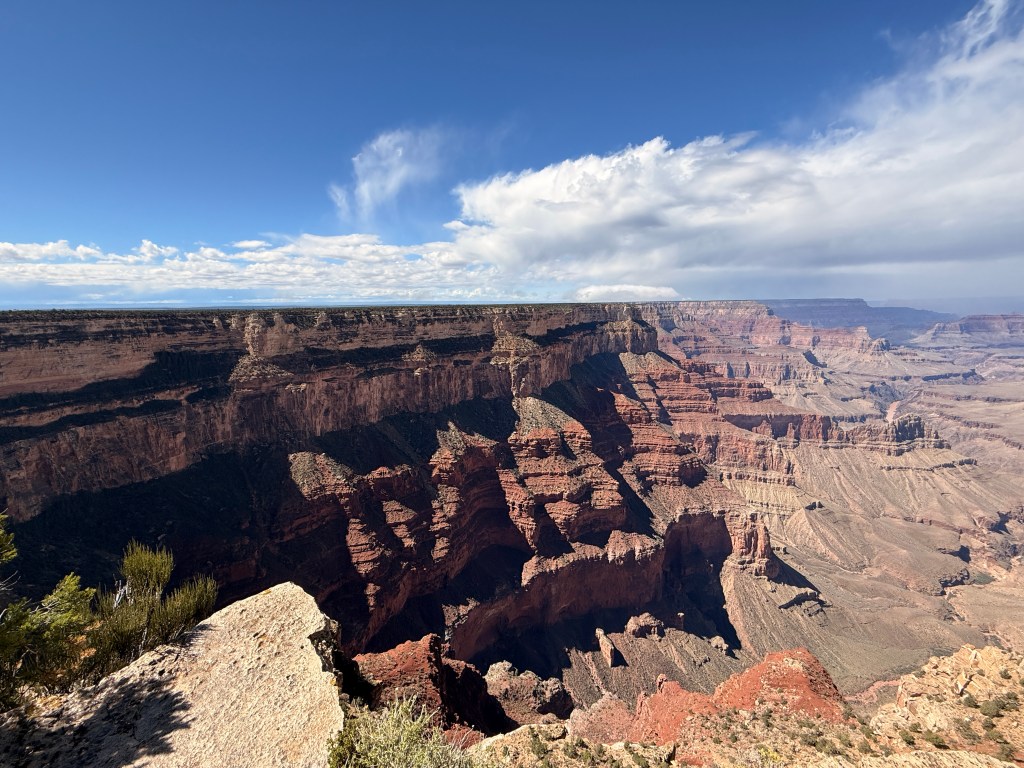
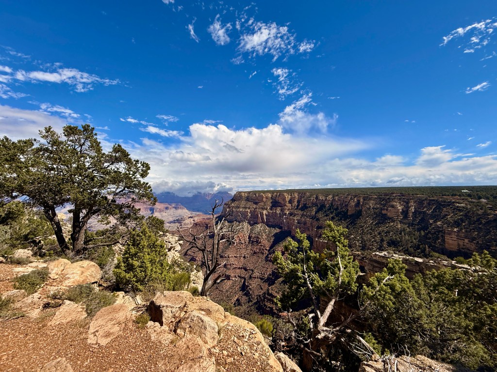
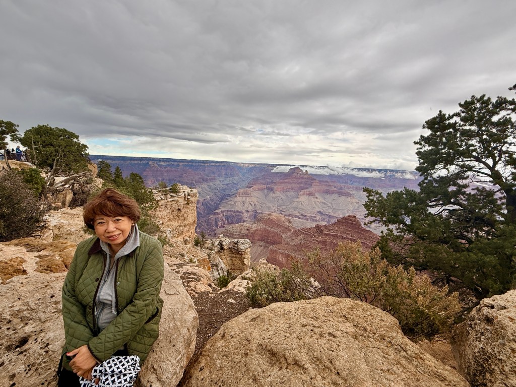
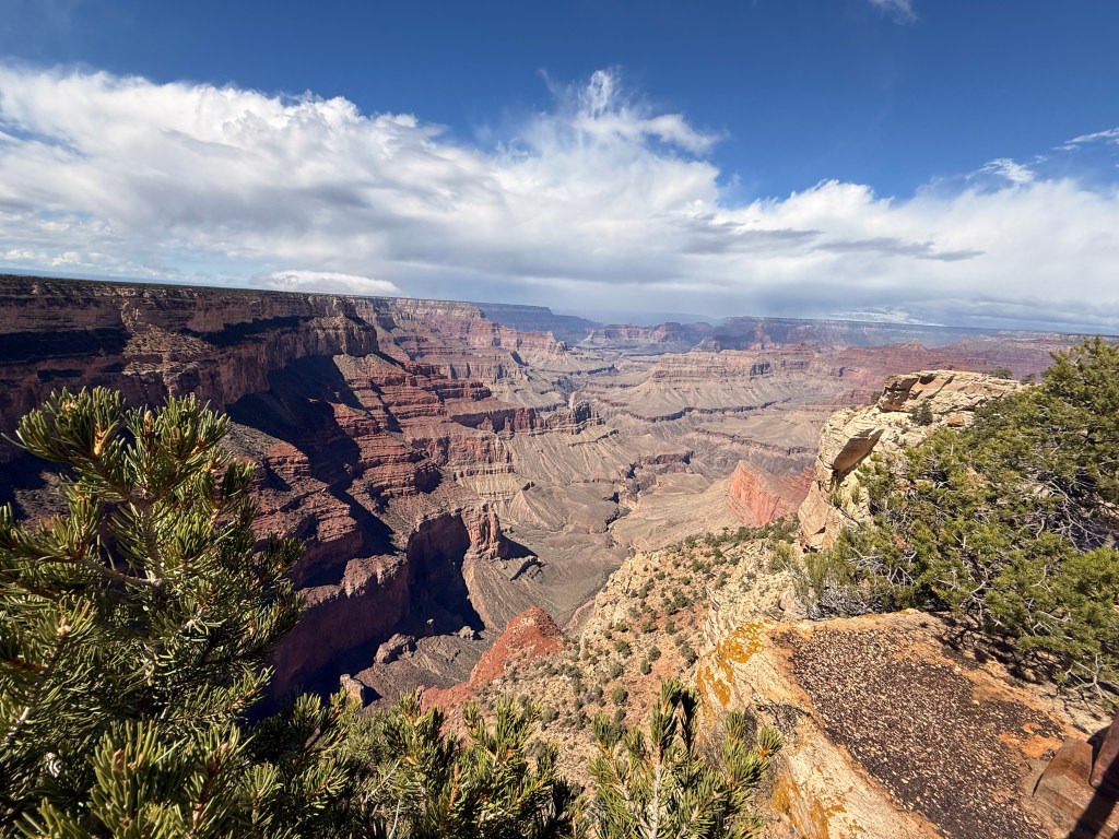
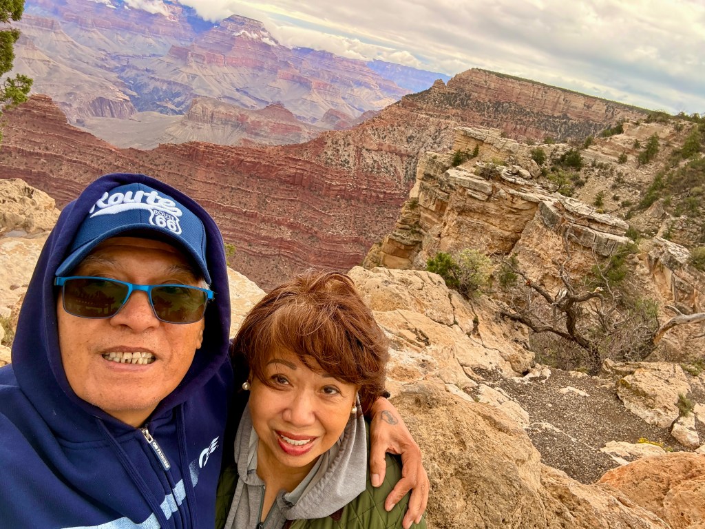
Trini was admiring the colorful flowers being tended by a Filipino lady when a friendly couple from Dallas TX stopped to chat with us. They told us they drove the entire Route 66 five years ago starting in Chicago IL! Kathy, the wife was so excited when she found out that Trini and her have the same birth month and year (September 1950) and only four days apart! After we parted ways with the couple, we decided that it was still early to drive to Laughlin. Even though we’ve been to the famous Grand Canyon at least 4 or 5 times already, we decided to go visit it again just to kill time. Grand Canyon is only 60 miles away, so off we went.
At the park’s entrance, we asked the park ranger if we can access the West Rim of Grand Canyon. She said we could but usually by shuttle since the road is closed to private vehicles; however, since I had the National Park GoldenAccess Pass, she could give us a pass to display on the dashboard. She also gave us the code for the gate to open it! The West Rim was about six miles from the South Rim and we were the only private car on the road other than the shuttle buses. The view was not really that different from the South Rim. We saw many people hiking around the park and I wish I was doing that too.
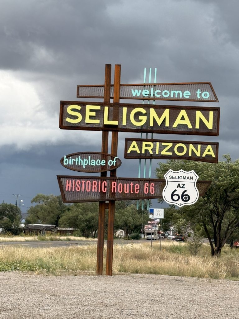
We stayed at Grand Canyon for a couple of hours before proceeding to our next stop. By this time, light rain again commenced and would occasionally stop. It went on like this until Seligman AZ.
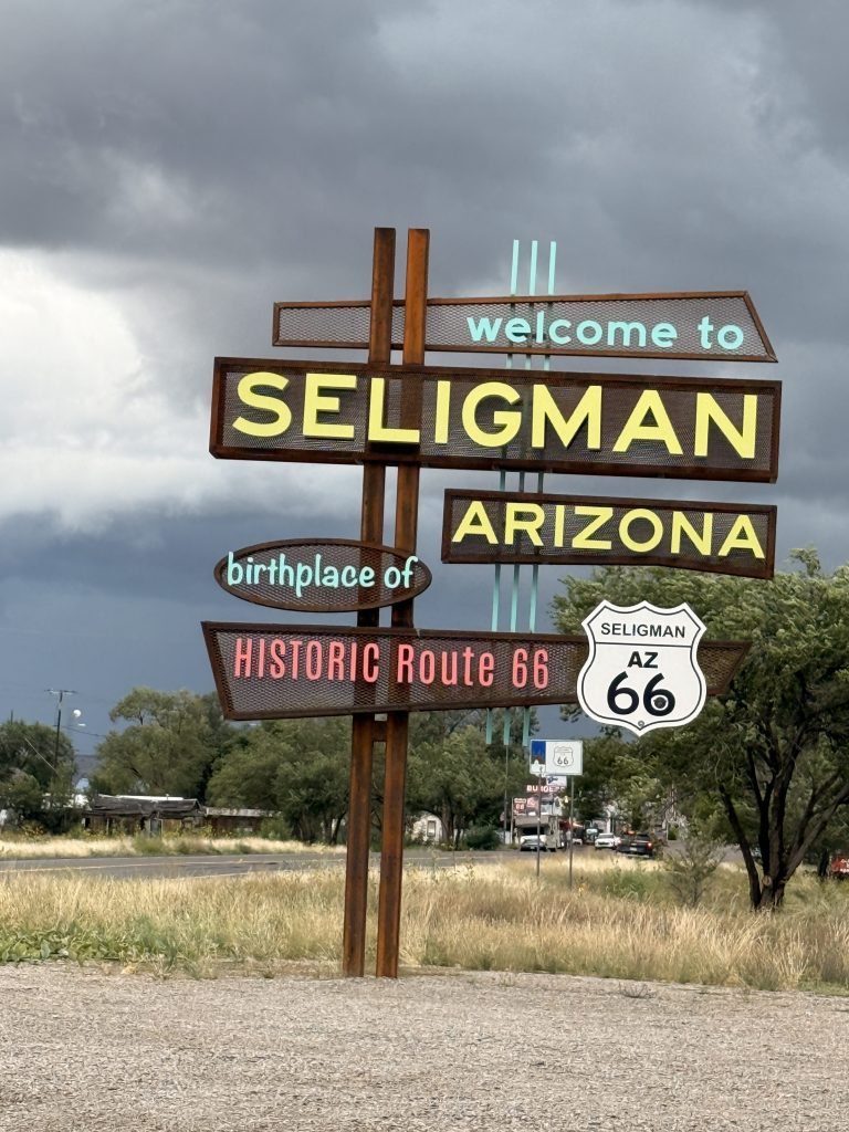
Seligman is often recognized as one of the most emblematic towns along Arizona Route 66. Though small in size, it has played an outsized role in the preservation and celebration of the Mother Road. Located in the high desert between Ash Fork and Kingman, Seligman captures the essence of what many travelers imagine when they think of Route 66: a town shaped by highway traffic, nostalgia, and the enduring spirit of small-town America.
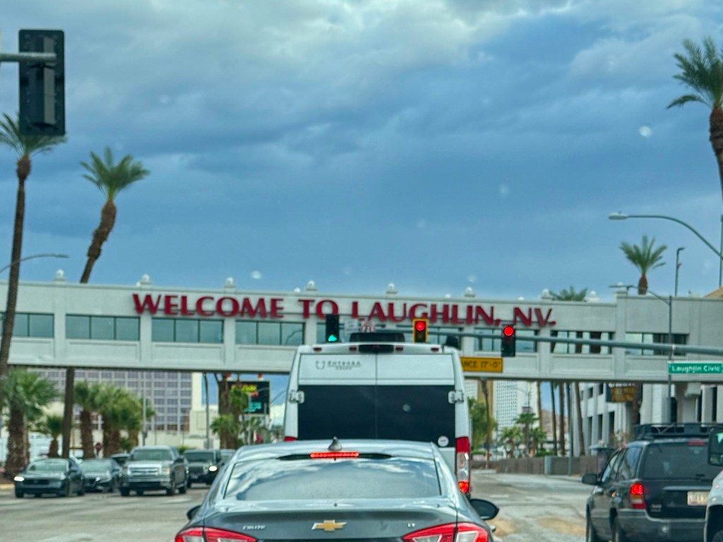
The remaining drive to Laughlin NV was somewhat challenging with the mountainous terrain and the “dare devil” truckers who drove way above the speed limit even when the rain was pouring! I was scared that our car would hydroplane with the amount of rain water on the highway. We encountered a half-hour delay in Kingman due to road constructions. But we reached Laughlin intact and unscathed!
Laughlin is an unincorporated community in Clark County, Nevada, United States. Laughlin lies 90 miles (140 km) south of Las Vegas, in the far southern tip of Nevada. As a resort town, it is known for its gaming and water recreation.
The last time we visited Laughlin was more than 35 years ago! We were surprised at the growth and many changes that occurred during this time. We stayed at the Tropicana Hotel and Casino (Tropicana in Las Vegas has been imploded to make room for the Las Vegas A’s baseball stadium).
Tomorrow we will conclude our short Route 66 centennial road trip and go back to Vegas!
We woke up with ominous clouds in the sky. I checked out my weather app and was concerned that there was an 80 percent chance of rain! We ate breakfast and tried to leave early (as if we could outdrive the rain!). Outside Albuquerque we pulled into a gas station to fill up for our long drive to Flagstaff. Gasoline in New Mexico is much cheaper than Arizona and Nevada.
The rain did indeed fall but not as we expected not until we started ascent to the higher elevations! It was stop and start and at one time visibility was only a few dozen yards and the spray from the trucks made it worse! Trini kept telling me to slow down although I was already slower than the trucks! We didn’t have time to explore the Route 66 historical roads we passed, I did exit at one time but the route was taking us further from the main freeway and the weather was getting worse.
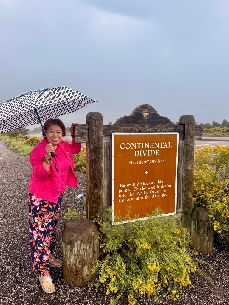
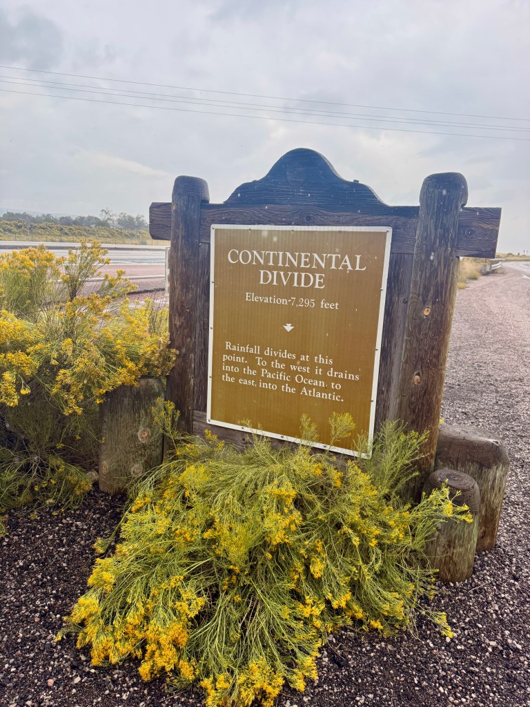
We exited when we spotted the sign “Continental Divide Route 66″. By this time the rain was pouring. Fortunately, we always kept a small umbrella in the car. This spot is the highest elevation in our route at 7,300 feet above sea level.
The Continental Divide is a natural boundary that separates watersheds flowing to different oceans in North America, primarily following the crest of the Rocky Mountains. Water that falls west of the Divide drains into the Pacific Ocean, while water to the east flows toward the Atlantic Ocean and the Gulf of Mexico.
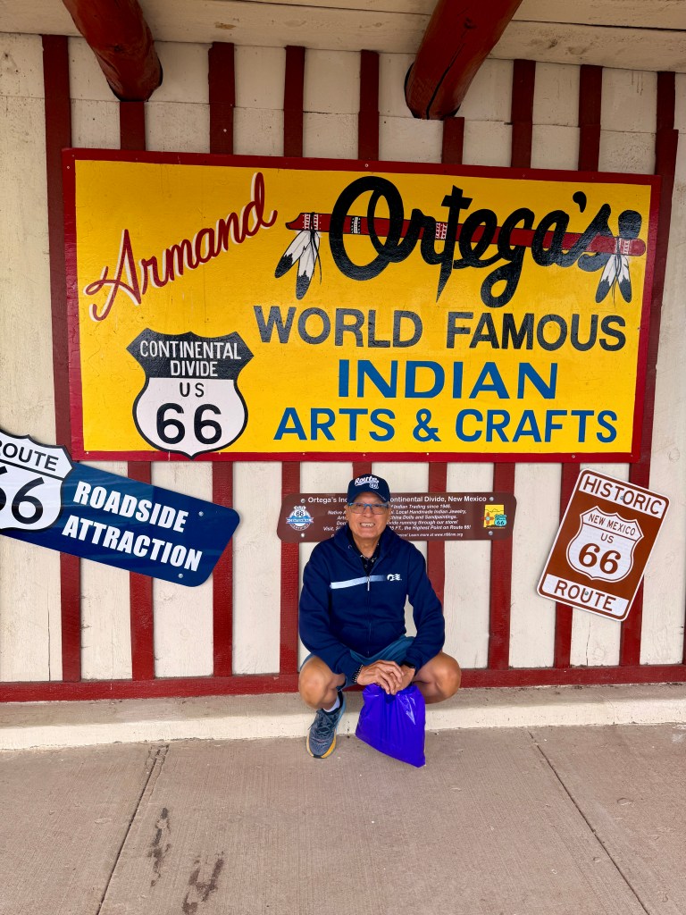
Across from the Continental Divide marker was the ubiquitous souvenir store! Needing a restroom break we went inside and the Native American owner and her family greeted us warmly (that helped as we were wet and cold)! After about half an hour browsing, Trini and I went out of the store with several T-shirt souvenirs to include – magnet!
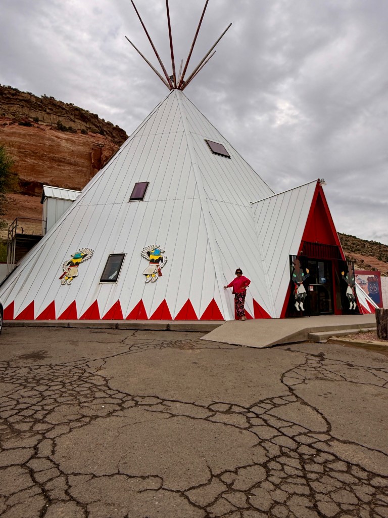
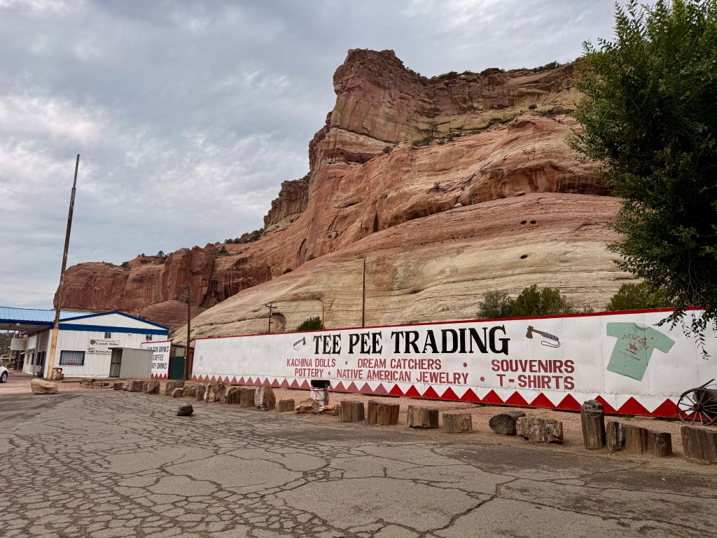
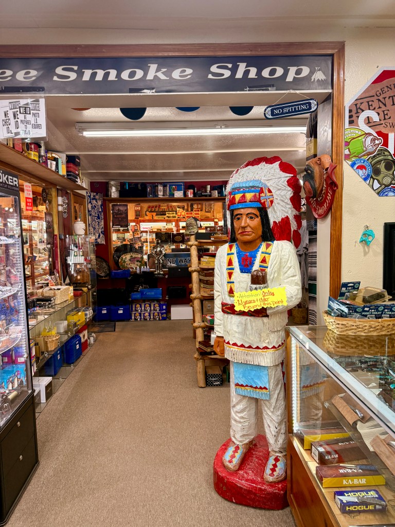
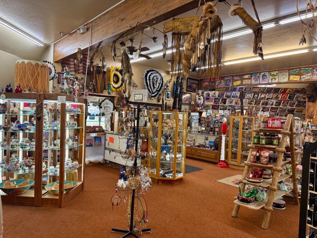
Descending from the higher elevation the rain abated somewhat. We sighted a giant tepee near a rest area which turned out to be another souvenir store! We went inside to satisfy our curiosity and pretended that we were serious tourists looking for something to take home. We were ready to leave when Trini showed me an arrow that I thought would look nice displayed on the wall, so we bought a pair.
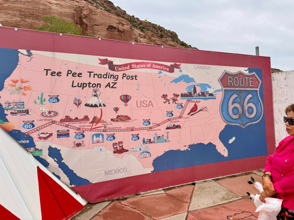
THE MAP COVERING ROUTE 66 (not accurate since it does not pass thru some of the cities indicated)
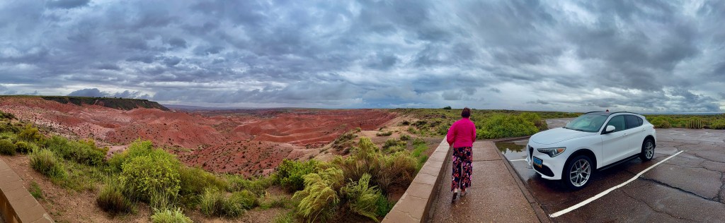
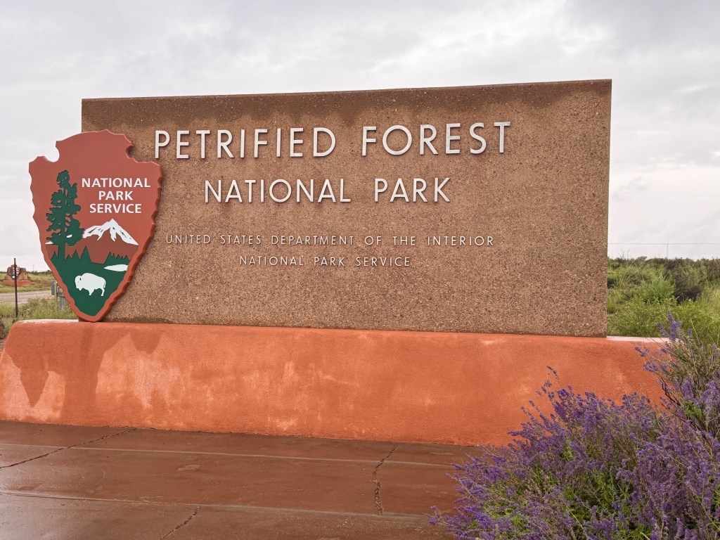
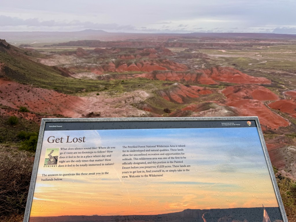
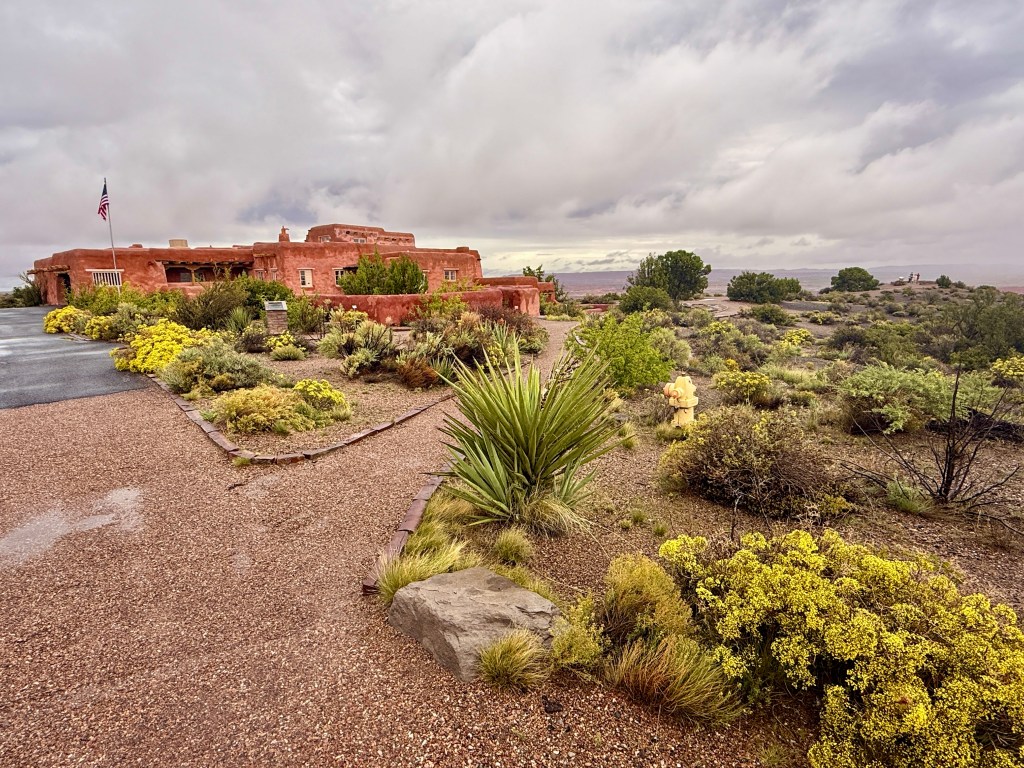
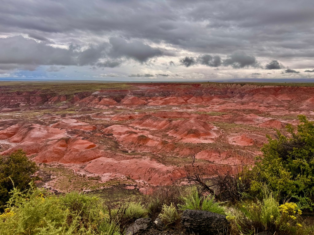
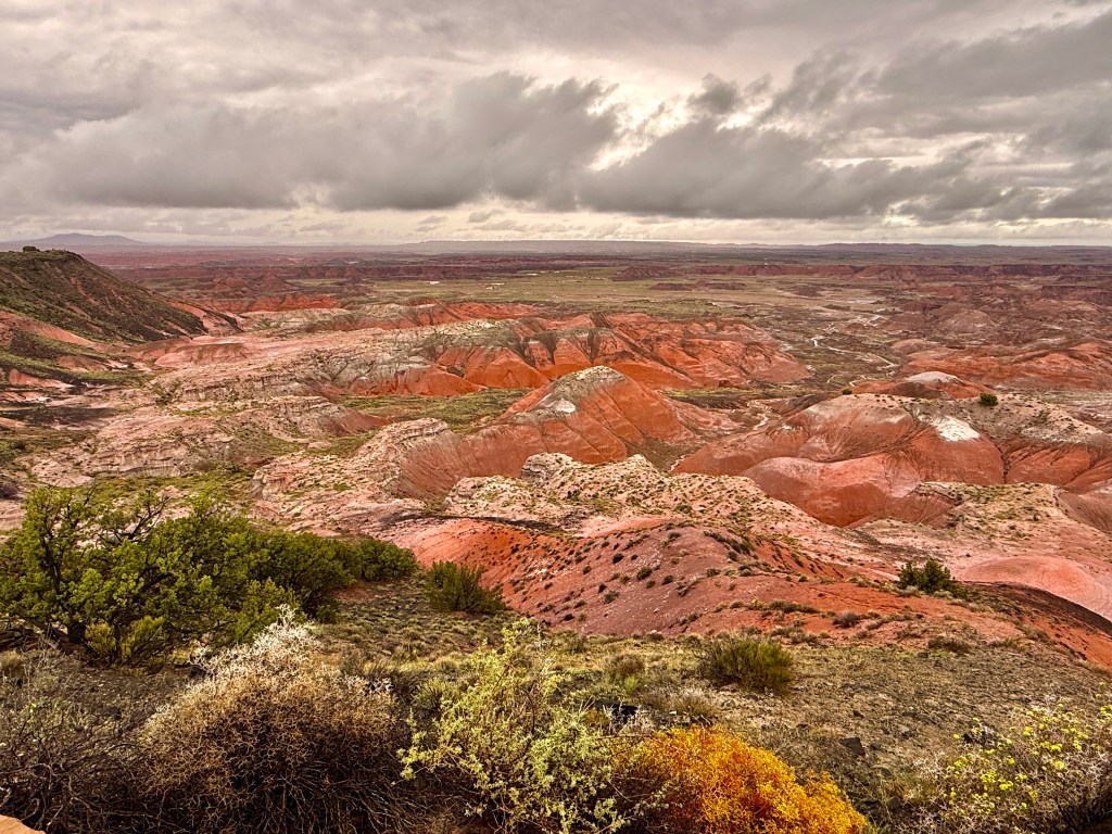
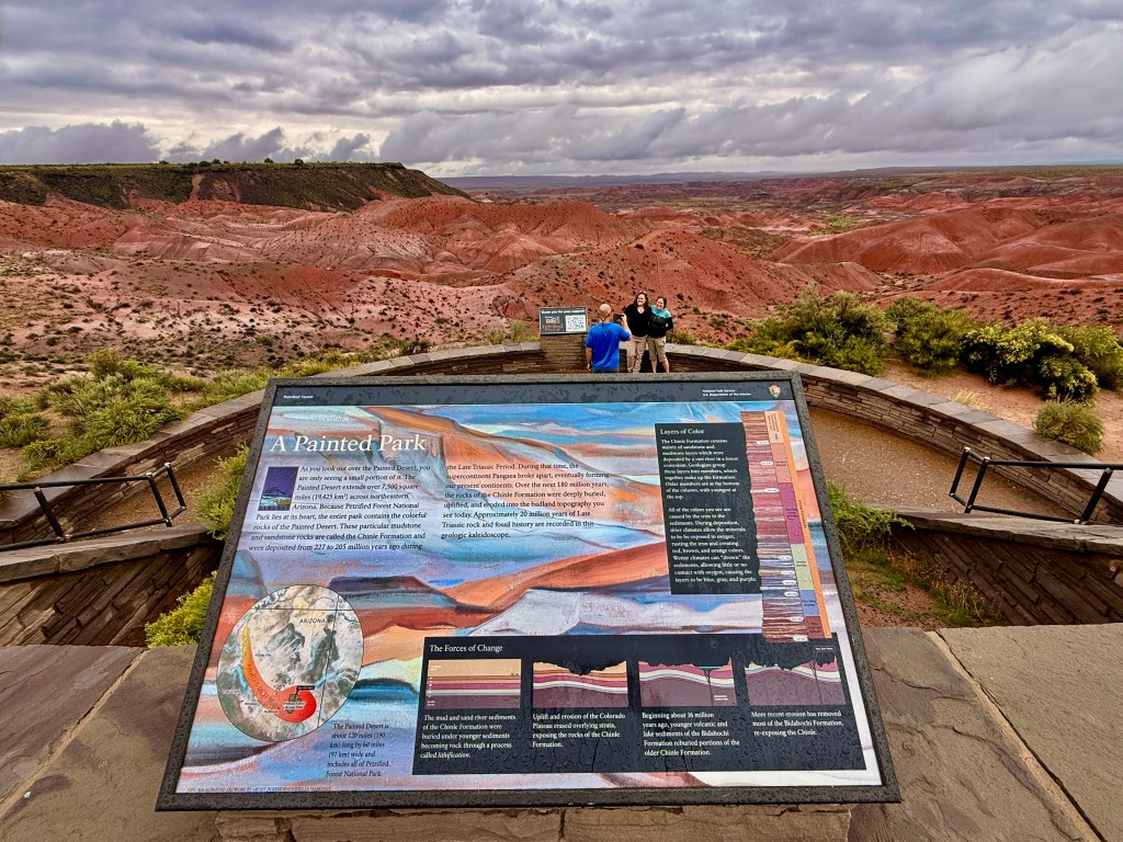
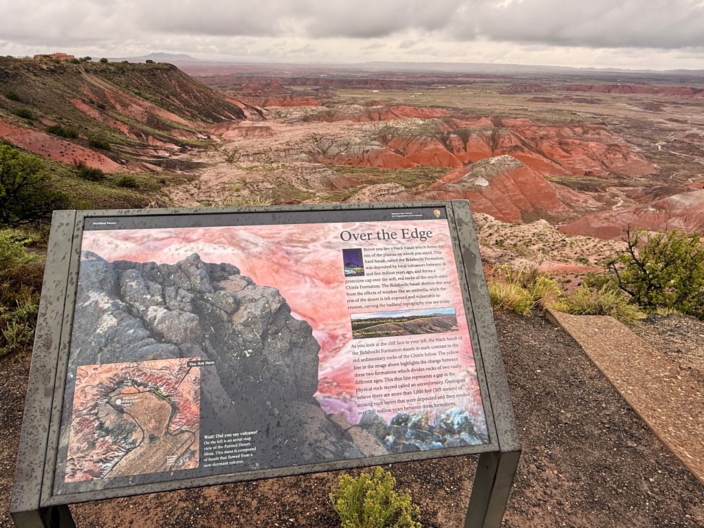
Petrified Forest National Park is named for its extensive deposits of petrified wood, which are remnants of ancient trees that have undergone a fossilization process. This unique geological feature, along with the park’s colorful badlands and diverse ecosystems, makes it a significant site for both natural history and paleontology.
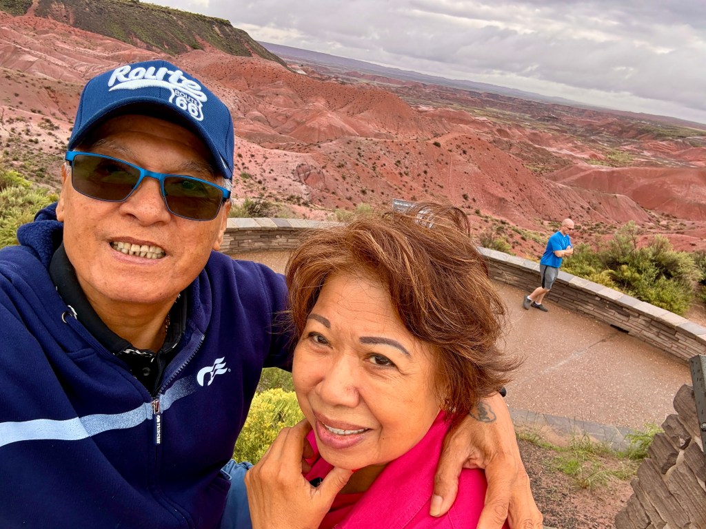
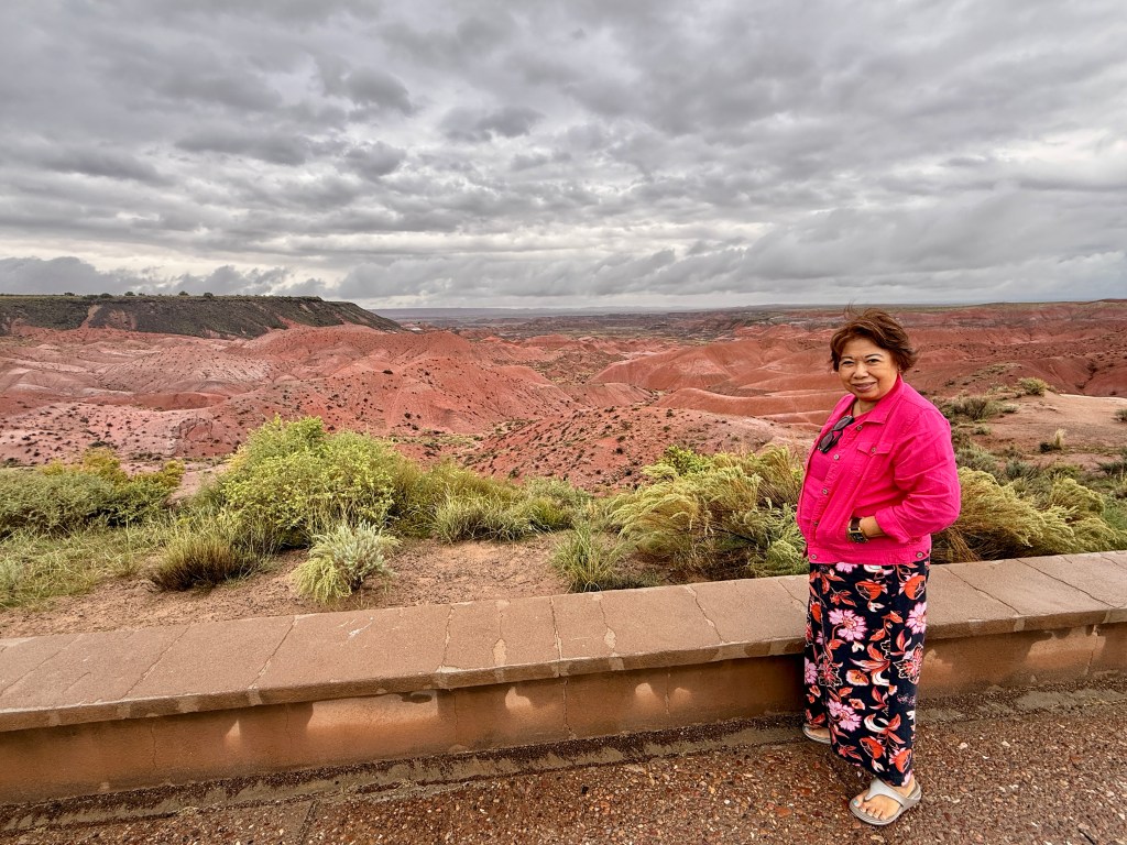
When we arrived at the Petrified National Park, it started to drizzle again and the temperature was dipping. But a little rain was not going to deter us so we took out our tiny umbrella and continued on to enjoy this unique experience!
By the time we reached Flagstaff where we were staying overnight, the rain started to pour and went on all night! Great timing ….
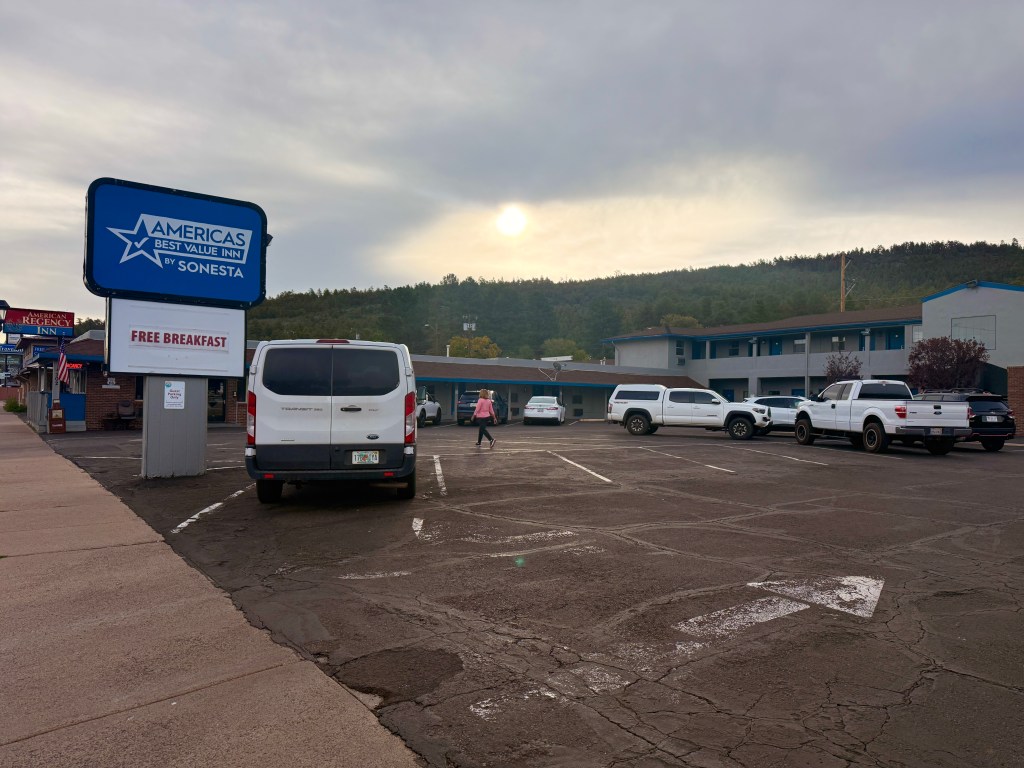
We stayed overnight in Williams AZ and checked-in in an overpriced mediocre hotel just 60 miles south of the famous Grand Canyon. The hotel room was clean but was located adjacent to the smoking area. Even though our door was closed we could still smell the cigarette smoke. I noticed a petite elderly lady who looked like she already had COPD but kept lighting one cigarette after another. The hotel offered continental breakfast- toast, cereals, muffins and watered down coffee. I noticed there were tourists from Germany, Ireland and England. I assumed they were going to the Grand Canyon.
Williams holds a unique place on Route 66 as one of the last towns to be bypassed by Interstate 40. Nestled along the western edge of the high country, it has retained much of its historic character while continuing to function as a small but vibrant community. The town’s location made it a natural hub for travelers coming off the long desert stretches from the east, and it served as a gateway to northern Arizona’s forests, mountains, and scenic routes. Route 66 shaped both the town’s growth and its enduring identity.
By the time we loaded our stuff in the car, the parking lot was virtually empty. We attempted to look for Starbucks but it was a futile endeavor – the small town did not have one. The weather was pleasant when we left. We found a gas station to fill up before proceeding and we also bought a much better tasting coffee here.
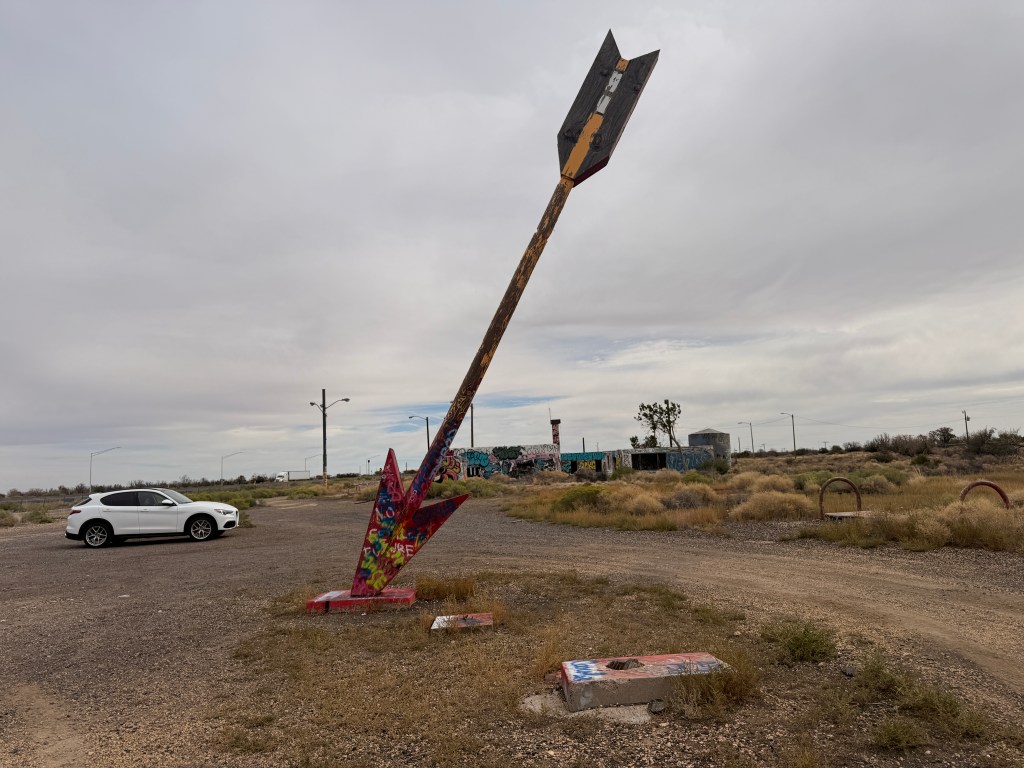
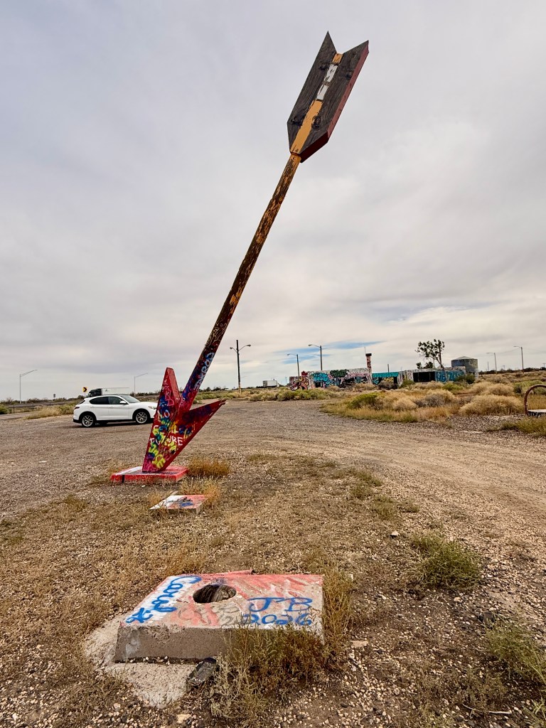
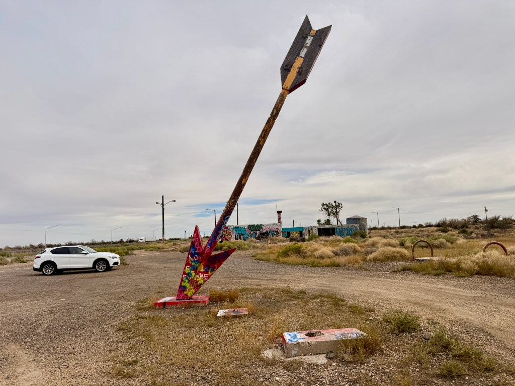
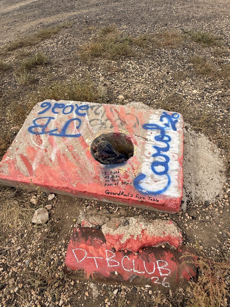
We passed a graffiti-filled abandoned shack with an arrow stuck on the ground. My Route 66 guide indicated that we were in Twin Arrows (although it’s now a Lone Arrow). One of the arrow was a victim of vandalism. I was disappointed by their senseless actions since these arrows have historical value and supposedly a roadside attraction!
The base of one of the vandalized arrow
This portion of Route 66 is mostly incorporated with I-40 but you can still experience the drive in some parts of the freeway. The drive was very nice since I mentioned the weather cooperated and there weren’t that many semi trucks on the road. It was interesting to know that this part of Arizona was in a higher elevation – from 3,300 ft in Kingman to 7,300 ft at the Continental Divide.
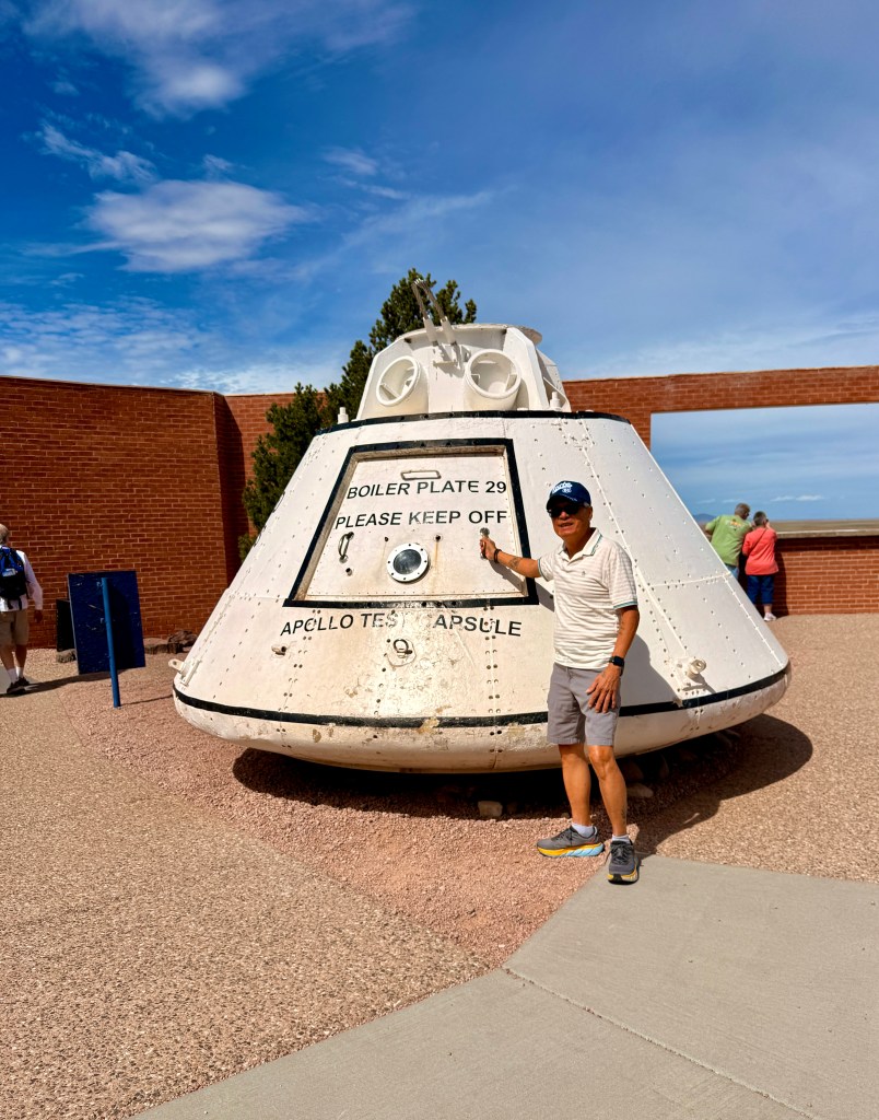
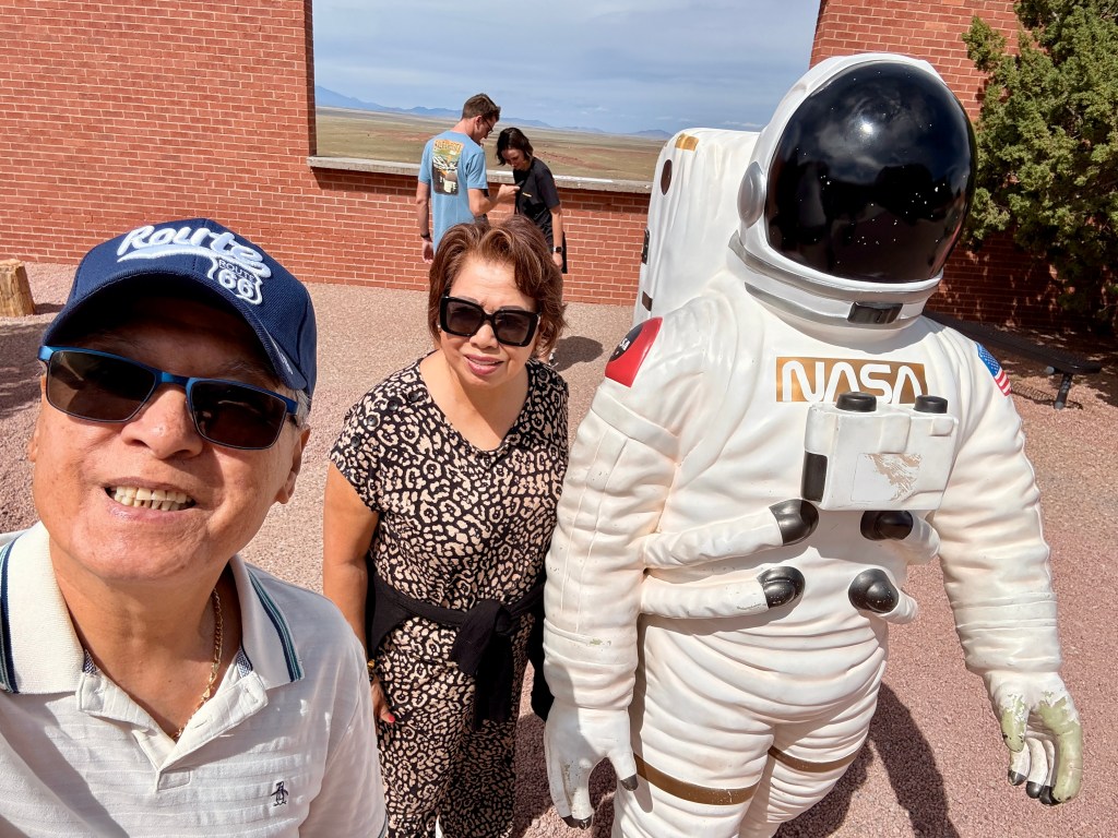
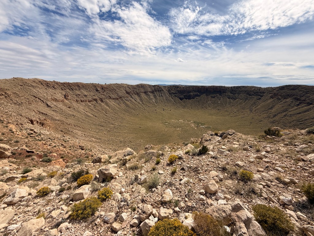
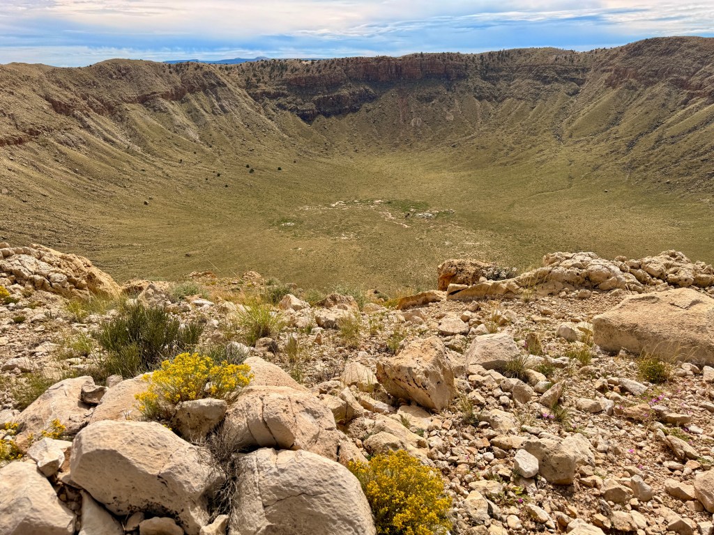
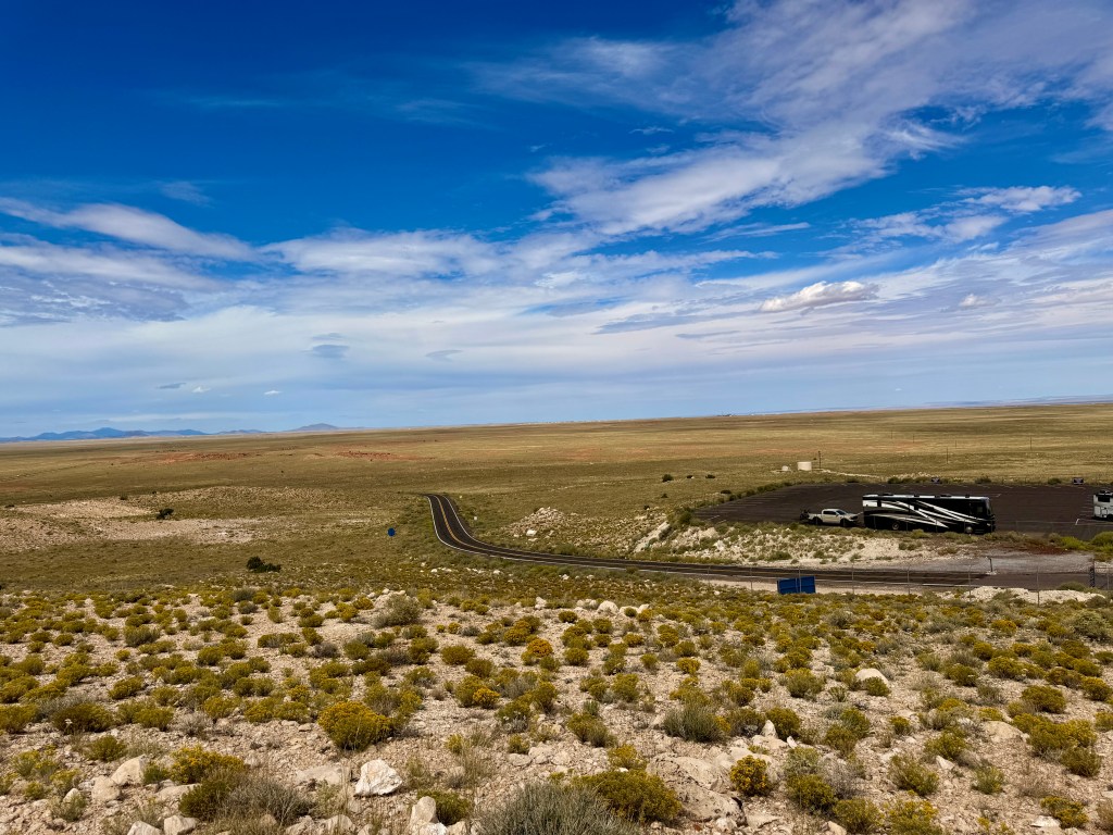
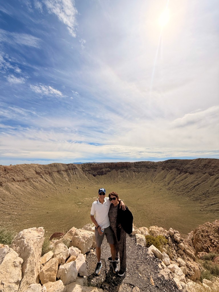
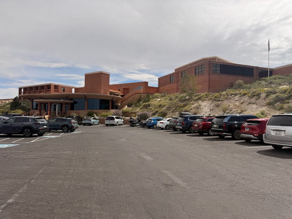
We drove on to go visit the famous natural formation – the METEOR CRATER! This is a private property and they charge you $27 per person including a group tour. It’s interesting to note that NASA used this crater to train their astronauts in the 60’s including Neil Armstrong and Buzz Aldrin who were part of the first humans to set foot on the moon!
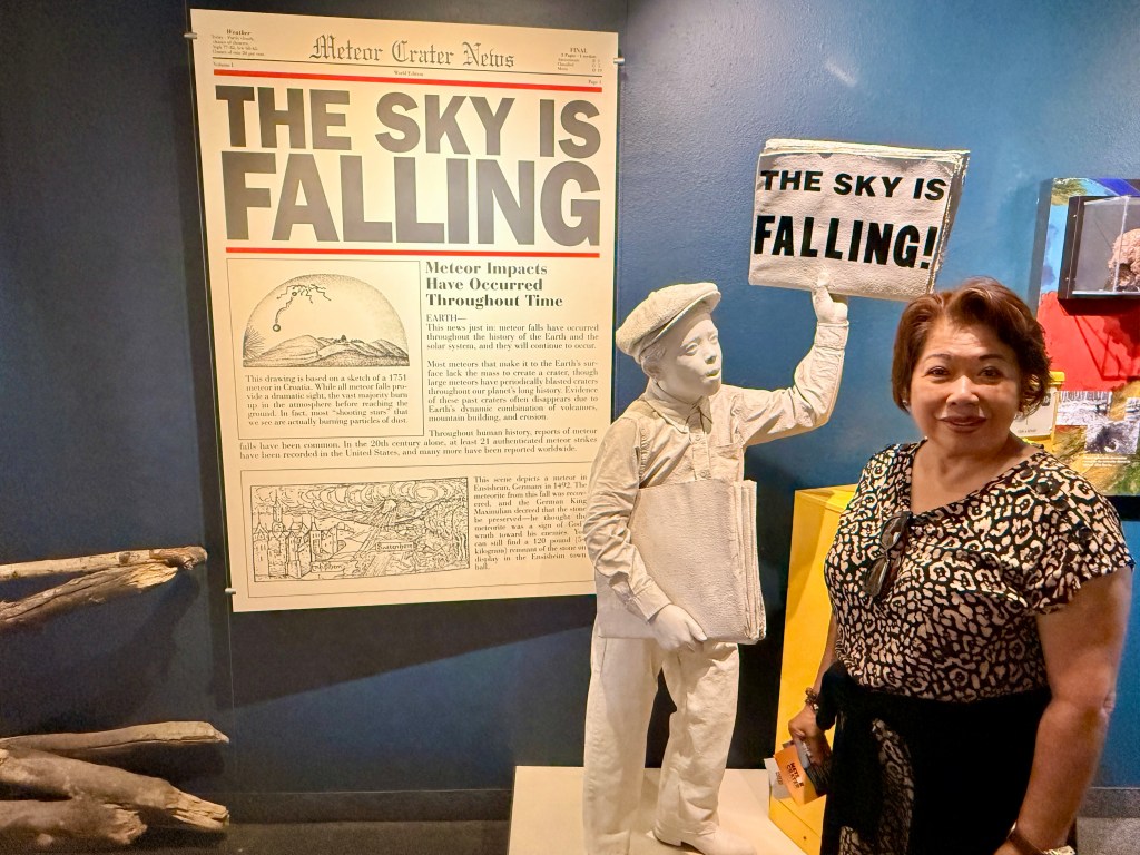
Over 50,000 years ago space and earth came together when a huge iron-nickel meteorite 150-feet wide and several hundred thousand tons impacted an area outside of Flagstaff AZ with a force 150 times greater than the atomic bomb! The result if thus enact was devastation for miles and the creation of the giant bow-shaped cavity called Meteor Crater measuring 550 feet deep and almost a mile wide.
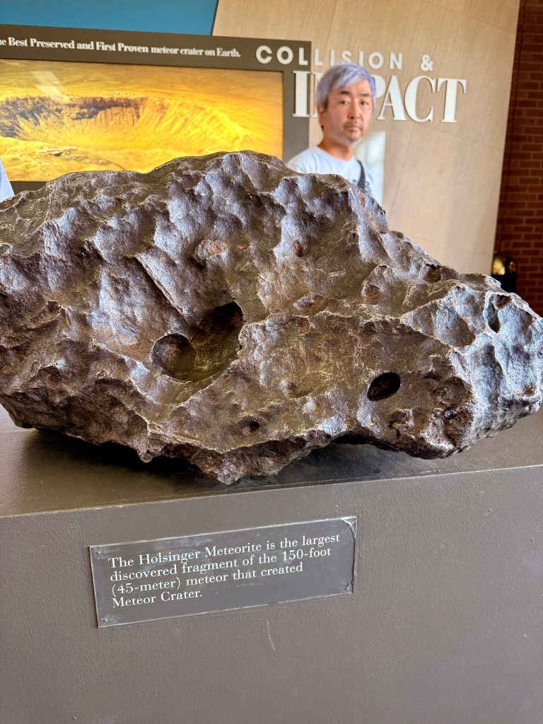
The largest discovered fragment of the meteorite that created Meteor Crater
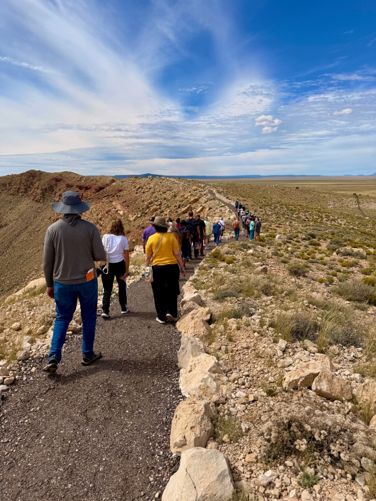
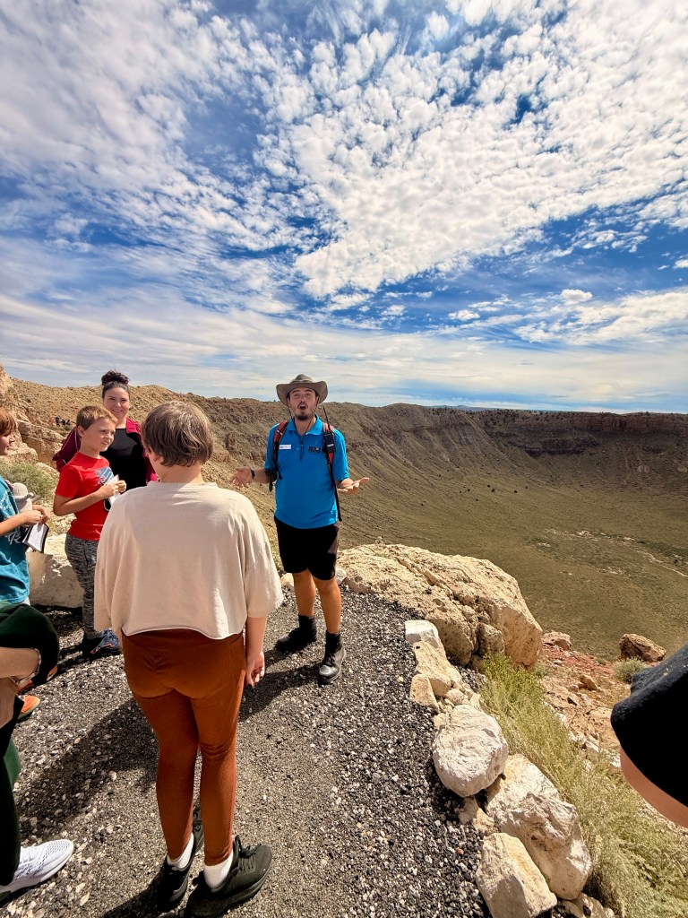
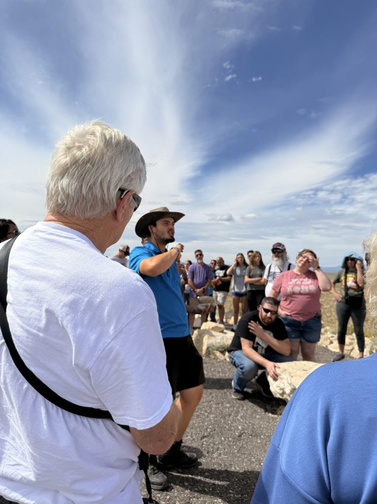
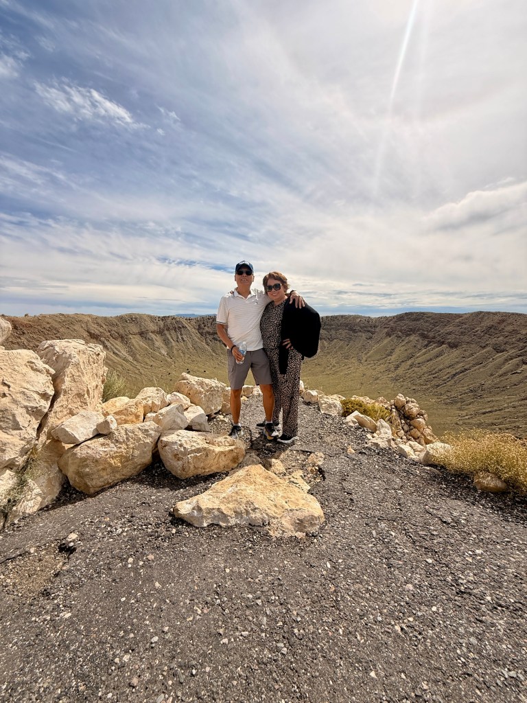
The tour was very organized with a very entertaining guide named Kyle. He was animated and tried to explain scientific facts very plainly and easy to understand. Our group consisted of all ages. We walked a short distance along the crater’s rim in order to admire and visualize the significance of the impact the meteor’s devastating impact!
We drove more than 500 miles this day! We arrived in our hotel, a much better one than that in Williams – Residence Inn by Marriott. A very spacious room with a sitting area and kitchenette. It also had a full-sized refrigerator. Not that all these amenities mattered since we left immediately after breakfast.
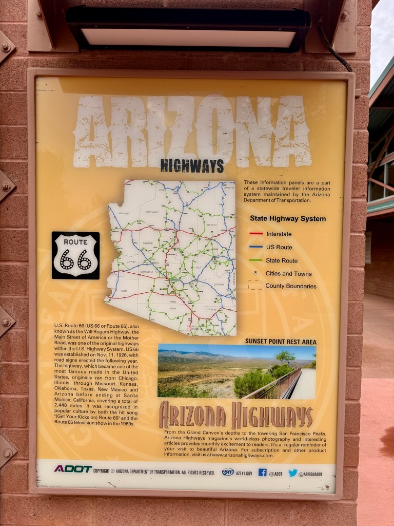
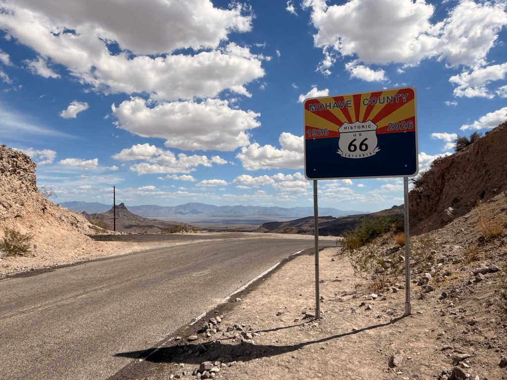
Route 66 was officially commissioned in 1926, linking Chicago to Los Angeles and establishing one of the first coast-to-coast paved highways in the United States. Arizona became a critical segment of this highway, connecting the high plains of the east to the western deserts and the California border. The route followed older trails, rail corridors, and stagecoach paths, adapting the landscape into a navigable highway for the automobile era.
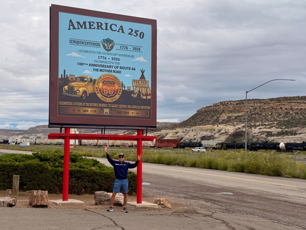
Route 66 always fascinated me and more so when I read about its history and significant contributions to the overall economic and infrastructure development of this country! We initially planned to fly to Chicago where Route 66 starts but altered our plans due to high cost of fuel and airfares. So Trini and I decided to drive a segment of the historic highway so we can at least help celebrate its 100-year anniversary.
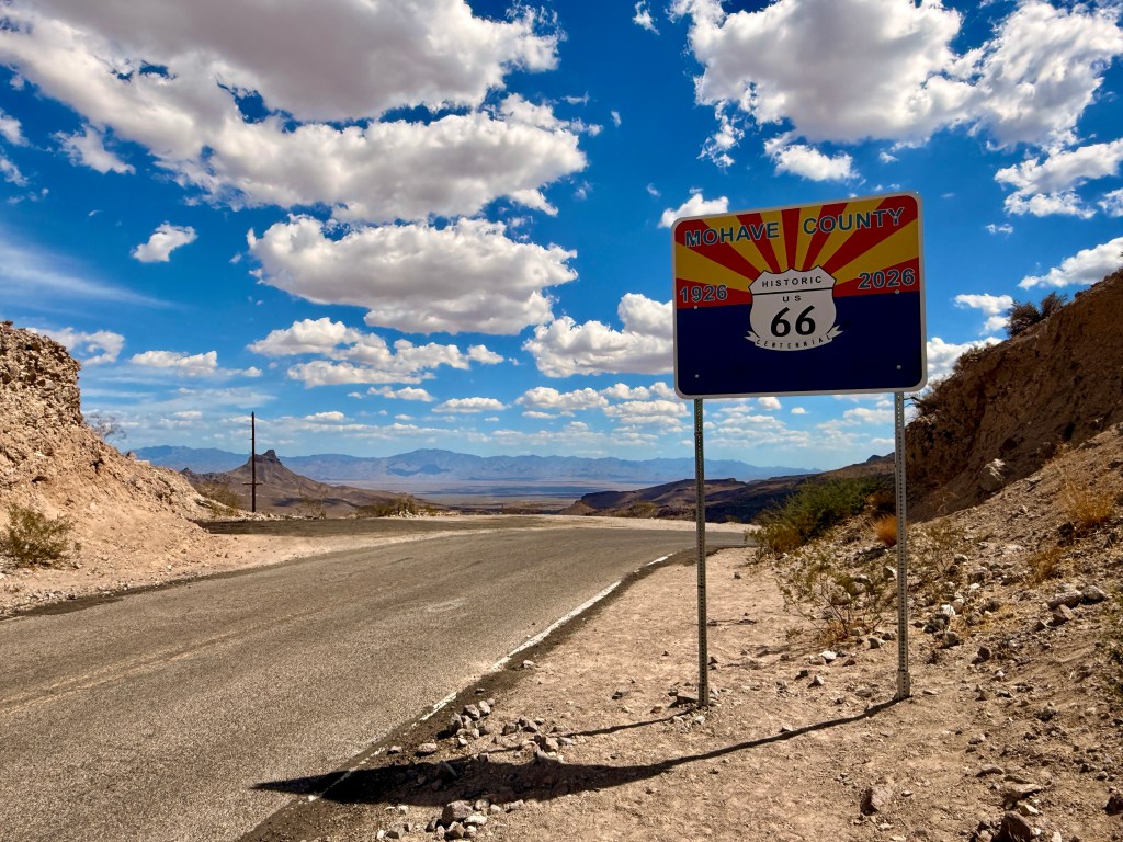
We started in Summerlin Las Vegas where we are residing and drove about 2 hours bypassing Laughlin, NV and going through Bullhead City, Arizona. Although summer was officially over four days ago, temperature was still in the low-90’s. We began the historic drive just outside of Bullhead City where we noticed group of bikers and other vehicles also traversing the famous road. We surmised that they were also celebrating Route 66 Centennial.
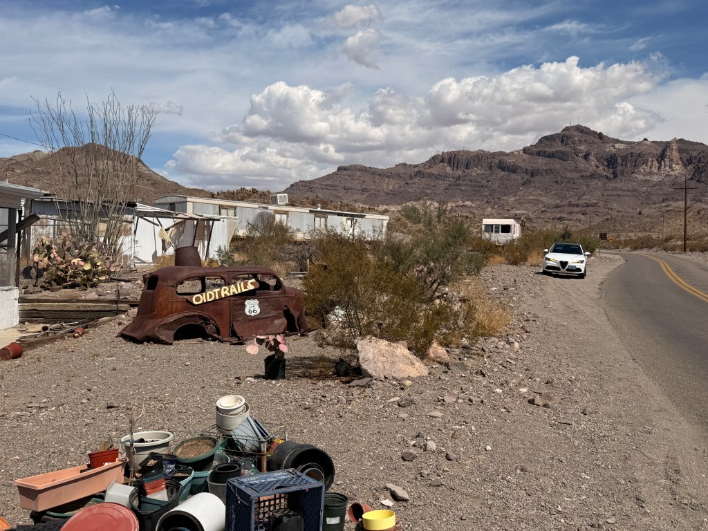
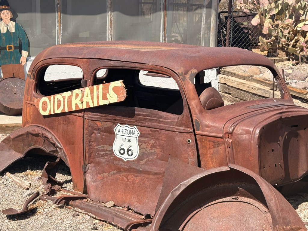
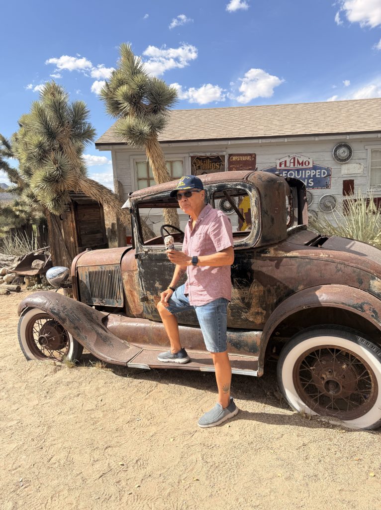
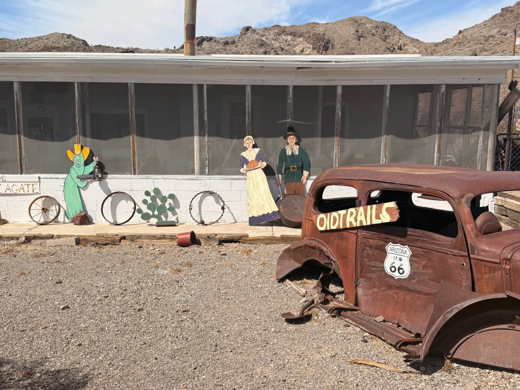
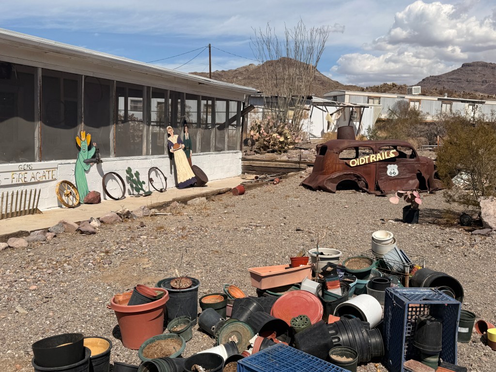
Just before we entered the quaint and rustic town of Oatman, AZ we passed by a “collectible store” with “abandoned” vintage vehicles.
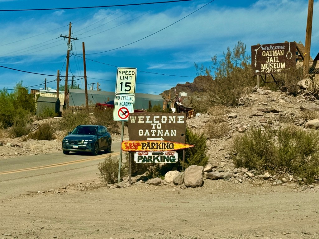
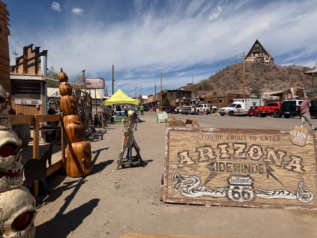
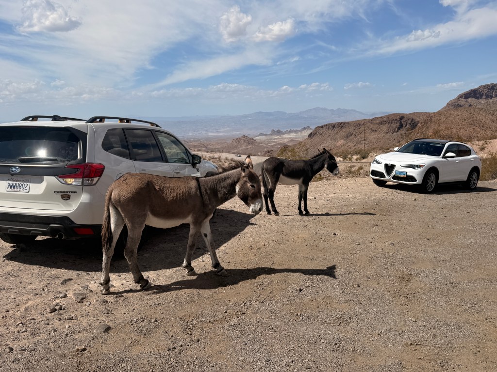
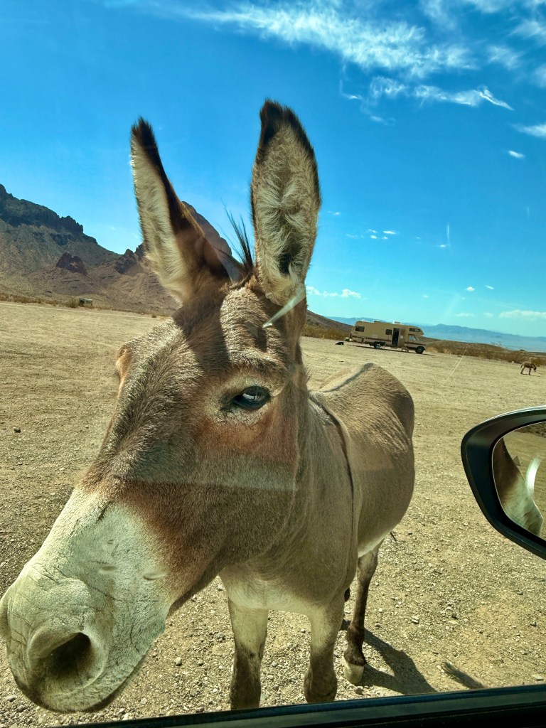
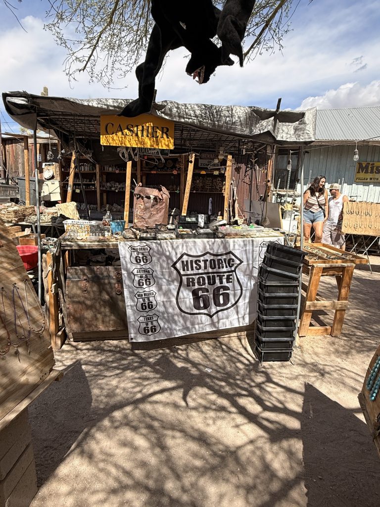
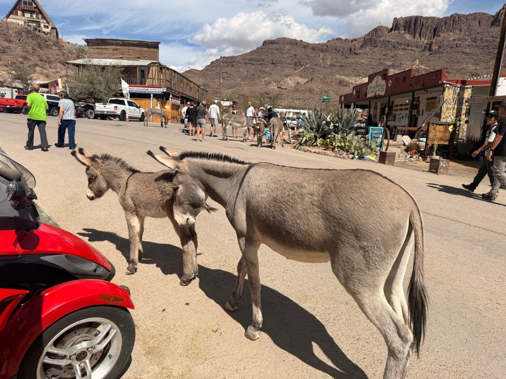
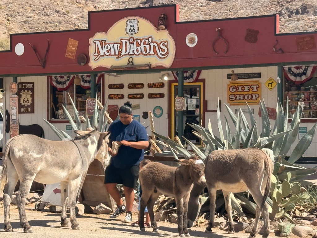
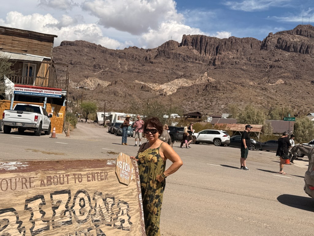
We stopped by a scenic view point where we noticed several stray donkeys (we realized they were the main tourist attraction in the area). One of them came to my window waiting to be fed (they got used to the tourists feeding them). After a few more minutes of driving we reached Oatman. We were surprised to see the dirt parking lot filled with visitors. There were stores selling all kinds of semi-precious stones and necklaces and other take-me-home-and-forget-me mementos. I bought the obligatory magnet to join the others in my refrigerator.
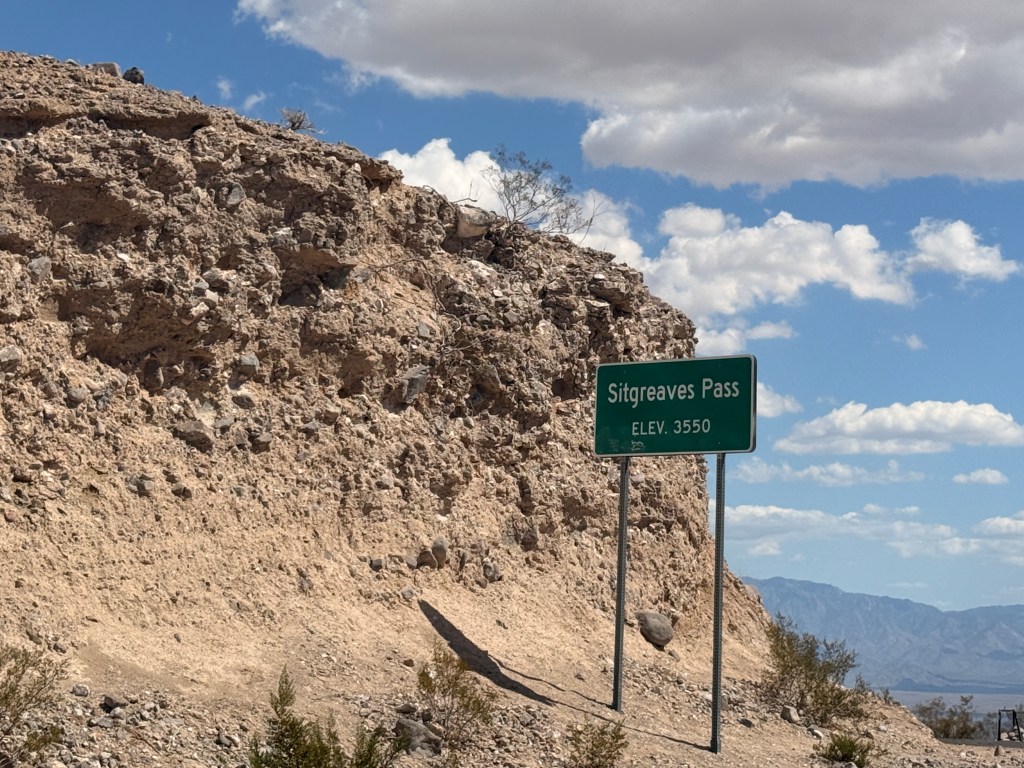
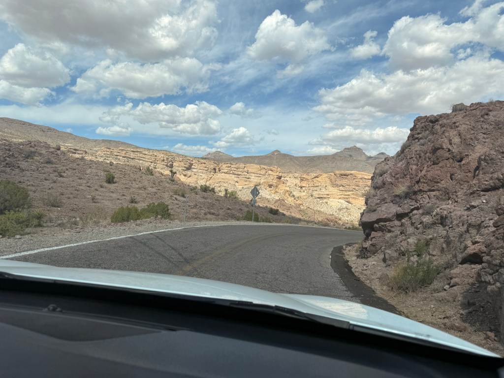
After browsing the different unique merchandise we decided to continue on and see what awaits us ahead. This portion of Route 66 is called Sitgreaves Pass Scenic Drive. It was an elevated highway with a maximum speed of 15 mph due to the narrow serpentine winding road. My eyes were constantly on the road to avoid going over the steep ravine, hence, I did not enjoy the so-called “scenic drive”. The up and down curves took us almost an hour.
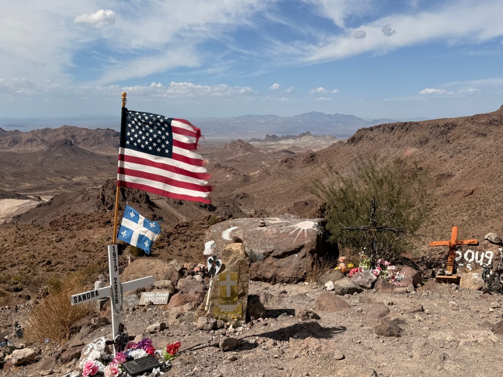
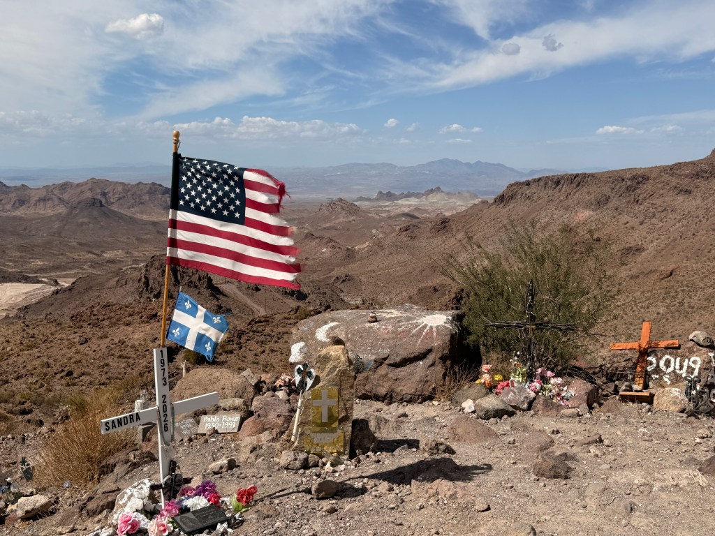
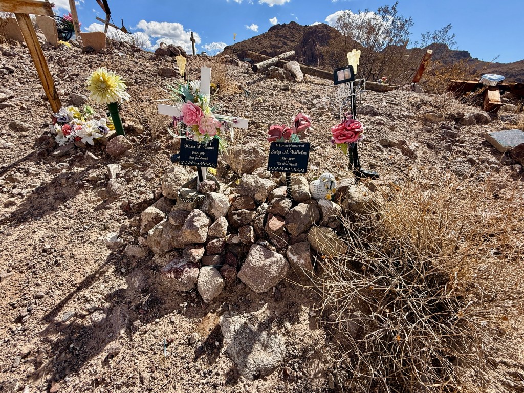
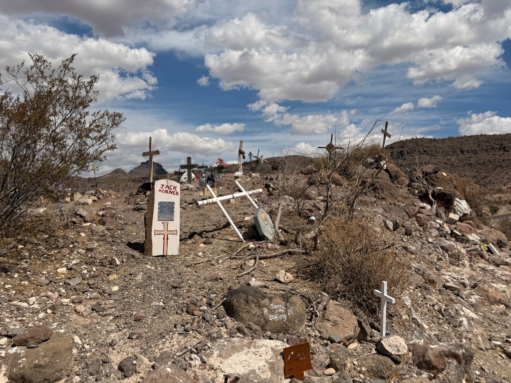
I noticed several people on top of a hill from a distance and was curious as to what they were doing there so I decided to find out. I parked the car on a bumpy dirt road where two other cars were already parked. I walked a short distance to the other side of the parking area and immediately saw numerous crosses of different sizes and styles with names engraved I surmised were the loved ones of whoever placed the crosses there. A slightly tattered U.S. flag was billowing from the breeze overlooking the valley below!
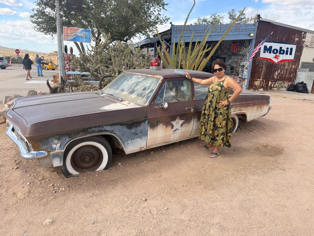
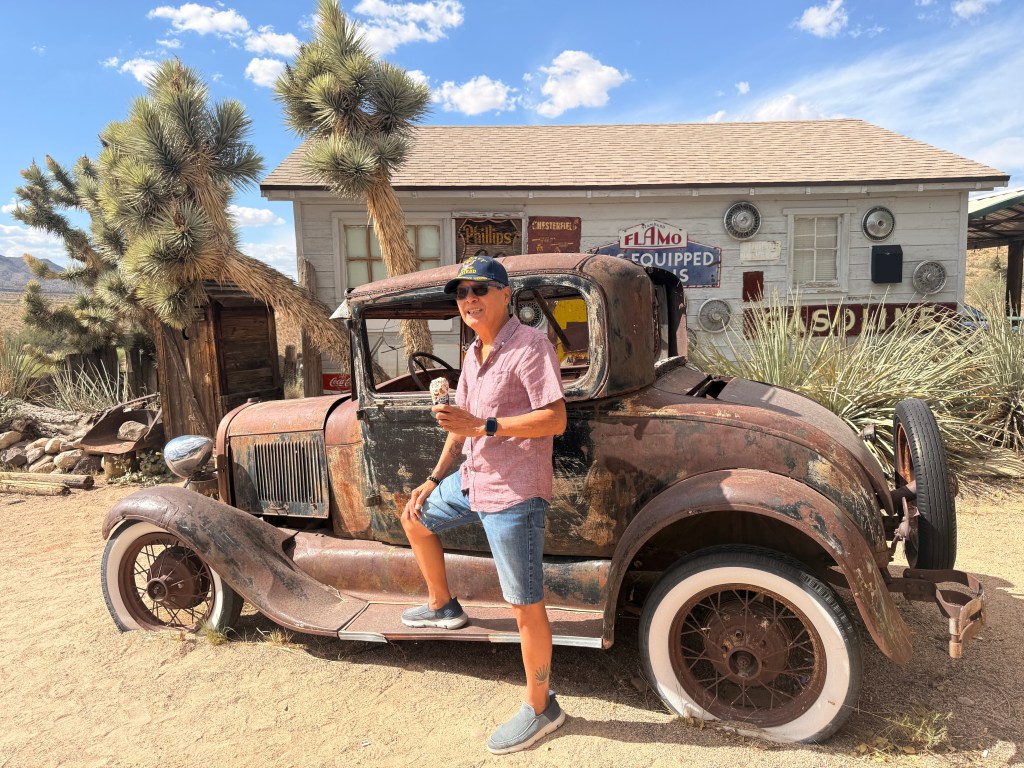
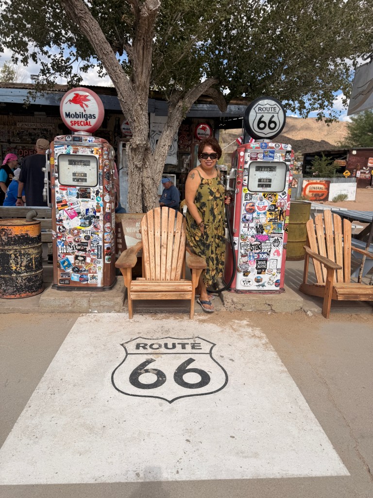
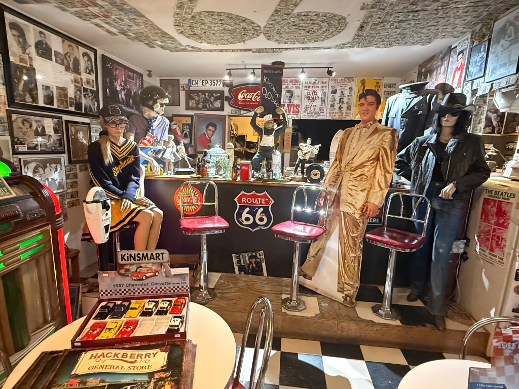
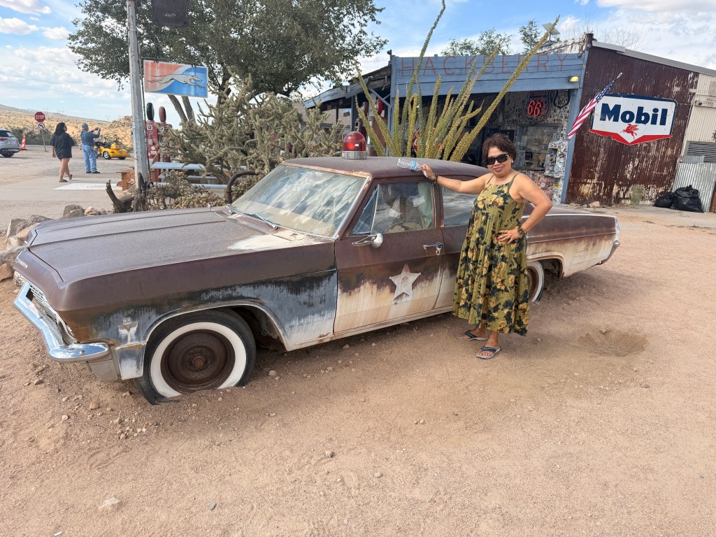
We heaved a sigh of relief when we sighted the end of the dizzying Sitgreaves Pass, not only was the road straight and it was also wider! Driving past a small town of Hackeberry we came upon a trading post. By this time, we really needed to use the rest room. On the grounds were several vintage American automobiles and one of them was similar to the car Martin Sheen drove in California Kid. There were old vending machines and gas pumps.
After purchasing a Route 66 ball cap to add to my already increasing collection, Trini and I decided to continue on to our hotel as it was already past 3:00 pm. The route did not look as interesting as the ones we left and there was no sign of the historical highway although we were still traversing it. We passed a sign that said that we were entering Hualapai Reservation although nothing on both sides of the road would indicate that. We noticed a cargo train on our right that seemed to be endless, we could not see the end nor the front. Finally, at one point, I guess I was driving faster than the train, we caught up with the front end!
We reached Williams, AZ where we booked a room for the night. I remember that more than twenty years ago we took the Grand Canyon train from this quaint town. We drove a total of almost 300 miles today.
Tomorrow our destination is Albuquerque, NM. This segment of Route 66 has been incorporated with the modern freeways but we plan on stopping at the Meteor Crater and Petrified Forest National Park.
The Golden Circle is a popular route for viewing some of the best-known natural sites in Iceland. This route normally takes you to Gullfoss, Geysir and Pingvellir National Park but our tour guide took us to three bonus sites – Moss Heath, Skógafoss and Seljalandfoss, the last two are waterfalls but smaller than Gullfoss. FOSS is the Icelandic word for WATERFALLS.
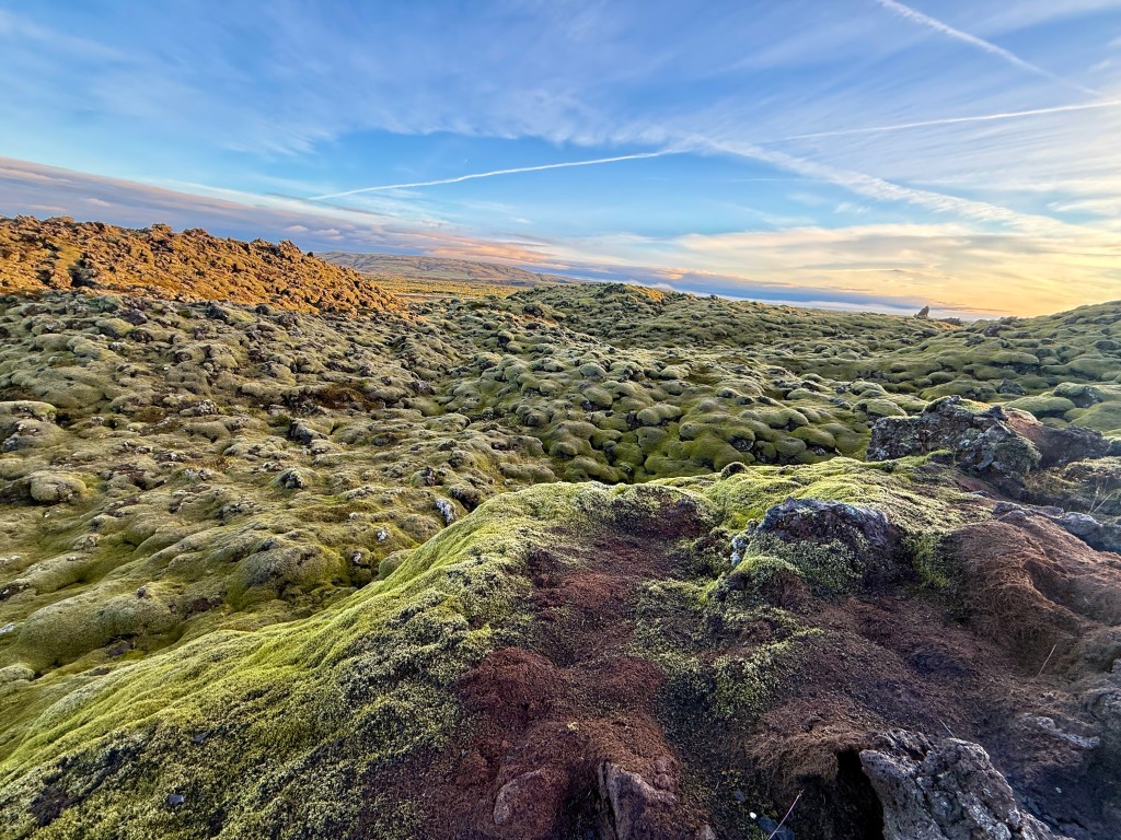
Our first stop was Moss Heath where we saw moss-covered lava fields as far as the eye can see. The moss is very fragile, so visitors must stay on marked paths to avoid damaging the delicate ecosystem. Weather was cooperating so far!
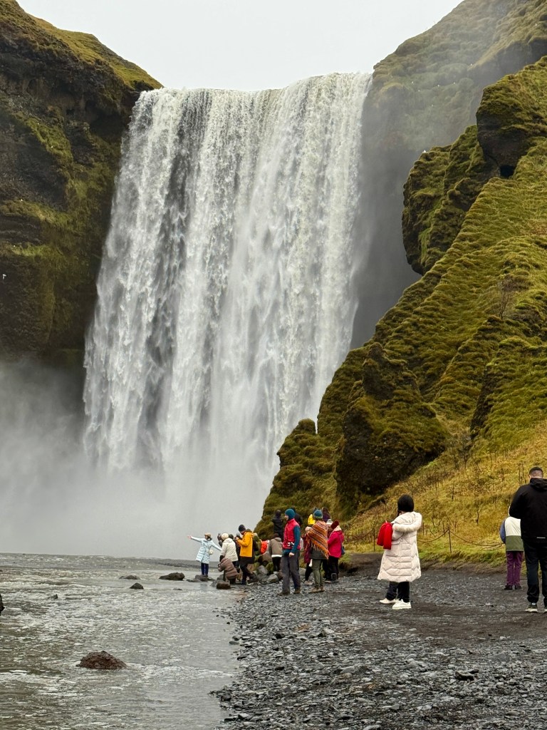
Next was Skógafoss, considered to be one of the island’s most beautiful waterfalls. It is 50 feet wide and 200 feet high. The air was damp when we arrived at the place, whether it was from the waterfall or drizzle it was difficult to say.
Skógafoss
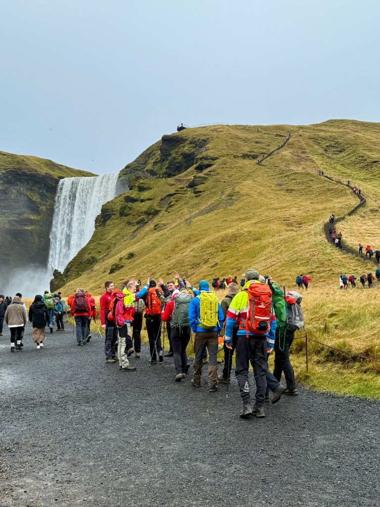
There is a steep walkway that would take you to the mountain top overlooking the valley below; however, my traveling companions declined to climb it. We saw a large group of young people donned in hiking and climbing gear all eager to conquer the mountain. Our guide informed us that they were hiking for 9 miles to another foss.
A couple of folks in our group were late coming back at the designated time since they climbed the mountain. At this time, several of us were asking if there was a restroom nearby. Askje told us to “hold it” for now and we can use one in the next stop.
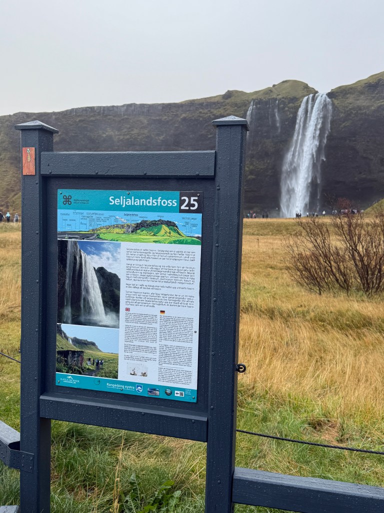
Seljalandfoss was the next bonus site we visited. It was smaller than Skógafoss. Several in our group dared venture to walk behind the falls. We stayed put. Trini and I had been to the majestic Iguazu Falls in South America that even the more popular Niagara Falls pale in comparison which is the reason why we’re not that excited visiting these waterfalls. (FYI: Iguazu falls width is 1.7 miles compared to Niagara’s 1 mile and it consists of about 275 individual drops whereas Niagara only has 4).
By the time we arrived in our next site, Geysir, it was again drizzling and cold. Geysir is the original term for the English geyser. For those of us who have been to Yellowstone Park and witnessed Old Faithful spew its steam hundreds of feet in the air, Geysir was barely a mist emanating from the earth. Several in our group, including Trini, Oya and Tommy declined to walk the short distance due to the rain and the tour guide was offended. I went along and witnessed one “blow” for a second and went back to the food court to look for Trini.
Geysir
After about 20 minutes looking for Trini in the very crowded (a refuge from the rain) food court/souvenir store, I saw her sitting with two others in our group. I ordered minestrone soup with bread, potato chips and coke zero which cost me the price of a good dinner in the U.S. (not complaining, I’m in a tourist trap after all).
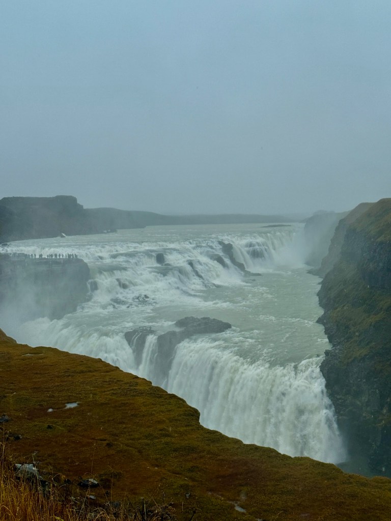
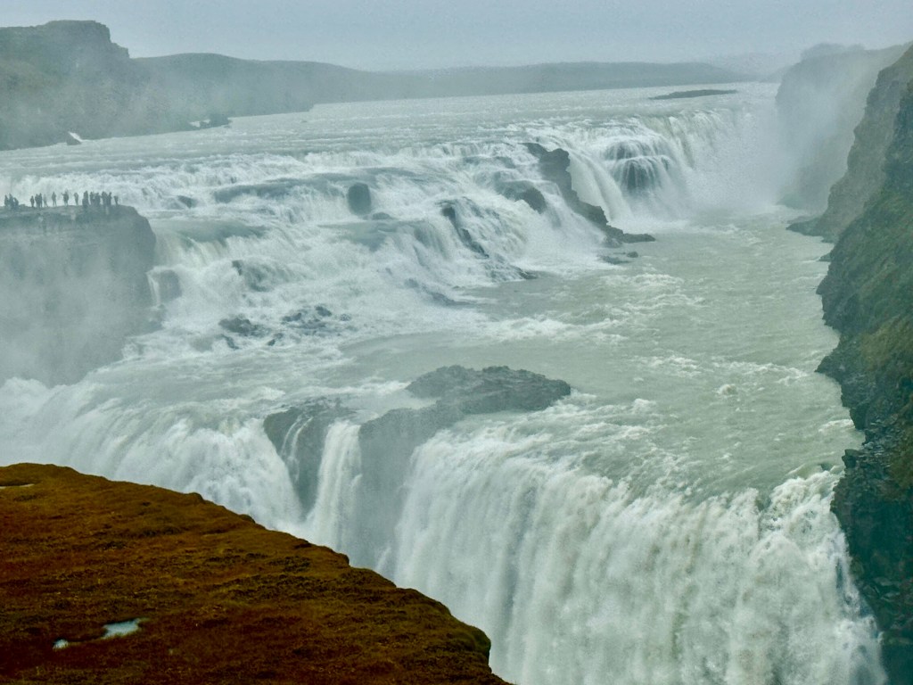
Our next stop was the two-tiered Gullfoss waterfall. It was raining hard by now so I pulled the folding umbrella from my backpack. The four of us made our way walking very slowly along a rocky path going downhill. I was worried that Trini might slip and fall as she has already a healing knee injury. We were halfway when I realized that I forgot my cellphone in the minibus! We continued on and this waterfall was more spectacular than the other two smaller falls. We witnessed the two-tiered falls plunging 36 feet (11m) then 70 feet (21m) into a rugged canyon. The roaring cascade was loud. The view could have been better had it not been raining. We slowly and carefully slogged our way back which annoyed some younger visitors who walked much quicker than these seniors, but we didn’t care.
As soon as we reached the parking lot, I ran to our mini-bus to get my cellphone and took the above photos.
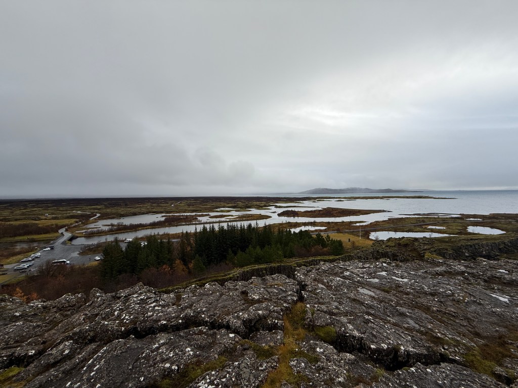
Our last stop (collective sigh of relief) was the UNESCO World Heritage Site – Thingvellir National Park. Fortunately, the rain has stopped when we arrived. Askje, our guide/driver asked a show of hands who wanted to hike up to the top of the site. Half of us raised our hands, the others decided to stay in the van (including Trini, Oya and Tommy) and meet us in the top of the park. It was a decent incline but my heart was pumping hard by the time we finished the almost one mile hike.
Straddling the North American and Eurasian plates
Thingvellir (or, in Icelandic, Þingvellir) is the only place in the world where you can stand between two continental plates (North American and Eurasian), in a distinctive geological landscape that changes every year. Part of the Golden Circle, Þingvellir is also a UNESCO World Heritage Site, and an important historical location in Iceland.
Finally, our 5-day tour was over! It was a lot of hard work for us seniors but well worth it! According to Askje, our guide/driver, we drove a total of 1,000 km (600 mi) during our tours! Would I do it again, maybe not, but I’m glad I booked this unique vacation-of-a-lifetime. We’ve experienced things the average traveler may not.
Iceland is a dramatic island nation known as the “Land of Fire and Ice” for its active volcanoes and large glaciers, characterized by other-worldly landscapes including lava fields, waterfalls, hot springs, and mountains. Geologically unique as it sits atop the Mid-Atlantic Ridge. Iceland has high volcanic and geothermal activity, which provides much of its natural heat and energy. The country also features a unique culture with strong connections to Viking heritage, literature, and outdoor activities like bathing in hot springs and observing the Aurora Borealis. (Google)
DAY 5 – Departure day. I strongly recommend a visit to this great island nation at least once in your lifetime!
After our buffet breakfast, Askej (our tour guide/driver) picked us up at 8:15 am to go visit Iceland’s top gems, the spectacular Jökulsárión glacier lagoon and Diamond Beach. The weather was perfect – dry and occasional sun-peeking out of the fluffy clouds. But I still had to wear my parka jacket though since it was still in the 40’s. We saw several small waterfalls along the way, the almost barren fields dotted with black and white objects which I found out later were sheep. I also spotted horses grazing from a distance that were much smaller than the average equine. Our guide told us that for the last thousand years Iceland’s horses’ small stature was a result of their adaptation to the island’s harsh environment and scarce food supply and demand for long distance travel. We stopped by an area where a glacier was nestled between two mountain slopes. The vistas are very different to the point where you can describe them as “dramatic and otherworldly“.
Our tour group Our vehicle – a comfortableMercedes Benz mini busIceland’s flag
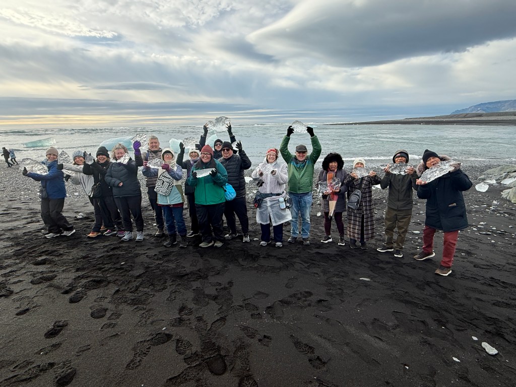
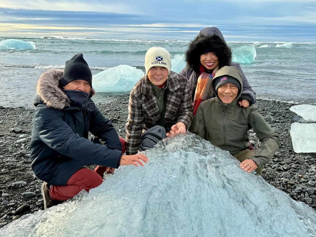
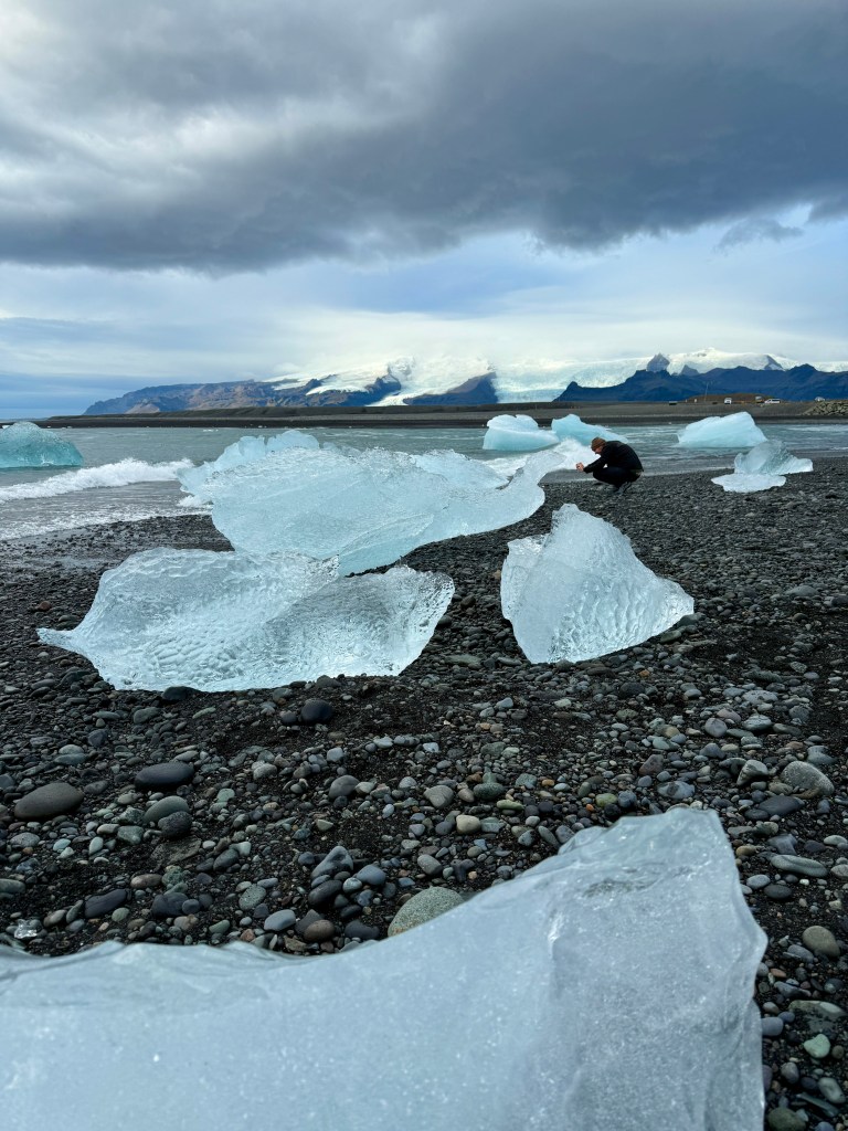
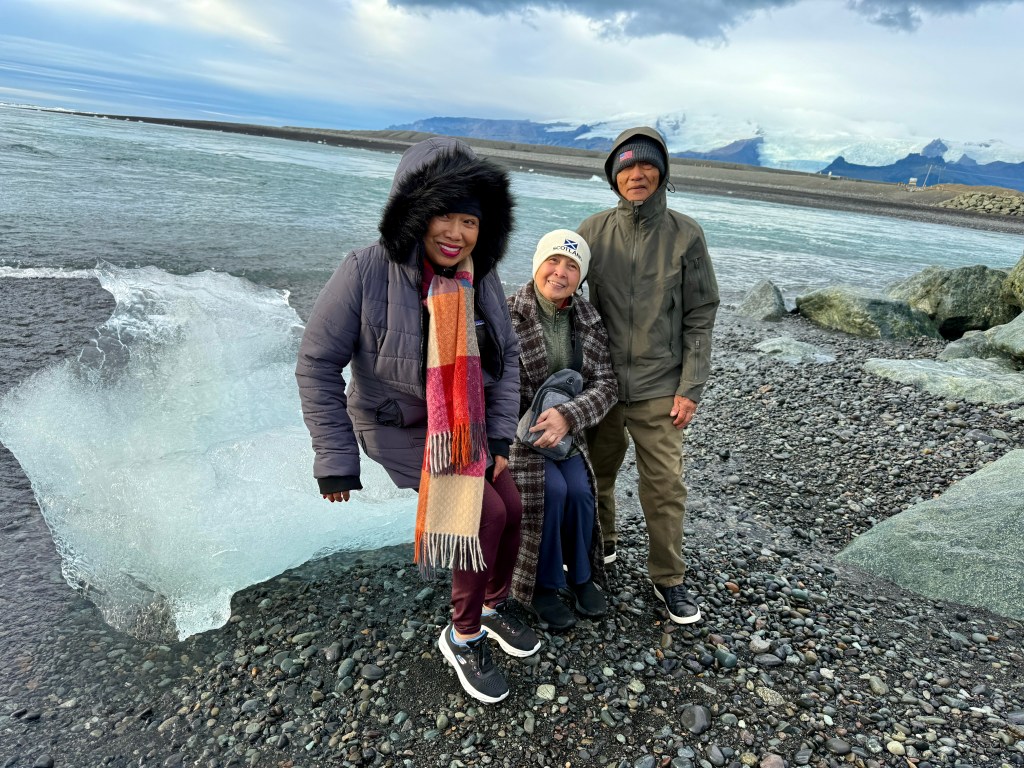
After about an hour drive we arrived at our destination. It was still early but the parking lot was already full with tourist buses, vans, mini-buses and rental SUV’s. Askej led us along a stony path that led us to to the rugged shores of the North Atlantic Ocean. Like the black beach, this was a unique experience to actually set foot on a beach strewn with “diamond” boulders”! We learned that these huge broken pieces of icebergs came from the glacier lagoon. Again, another group photo!
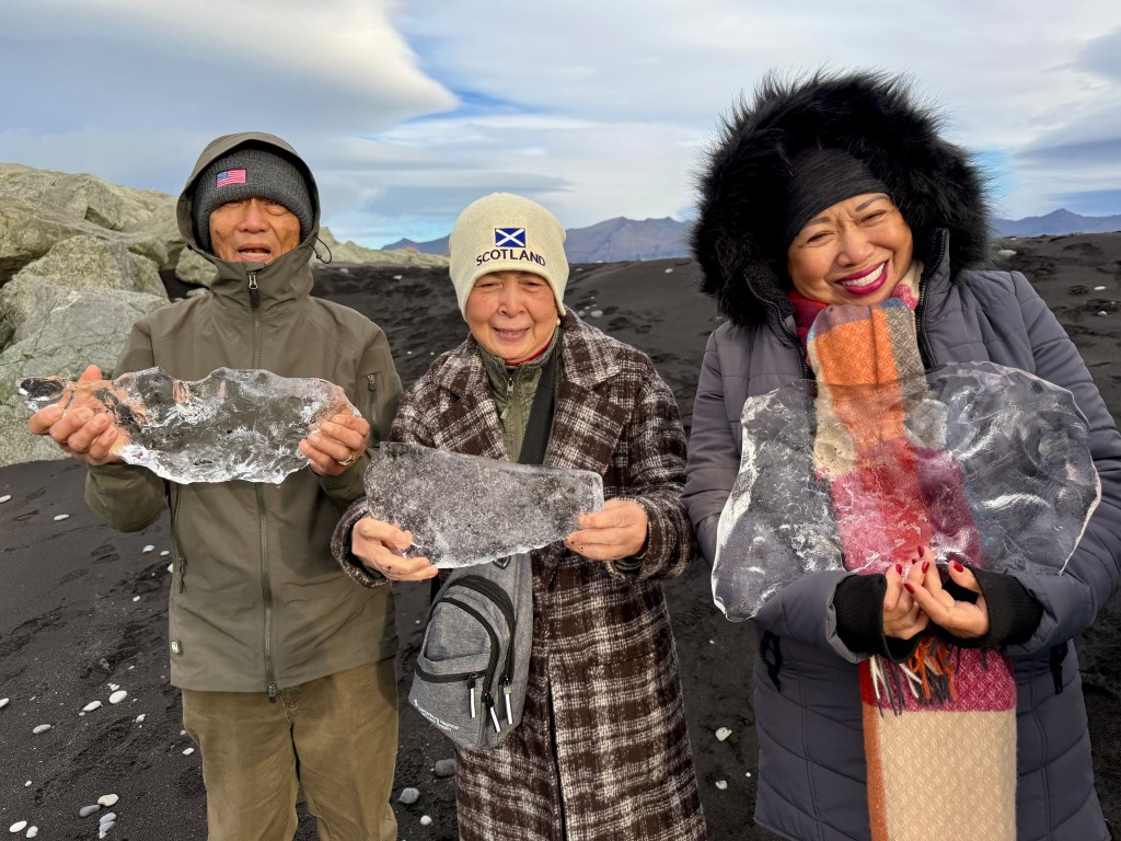
The group with souvenir “diamonds”A man taking a photo of the huge “diamonds” on the shore
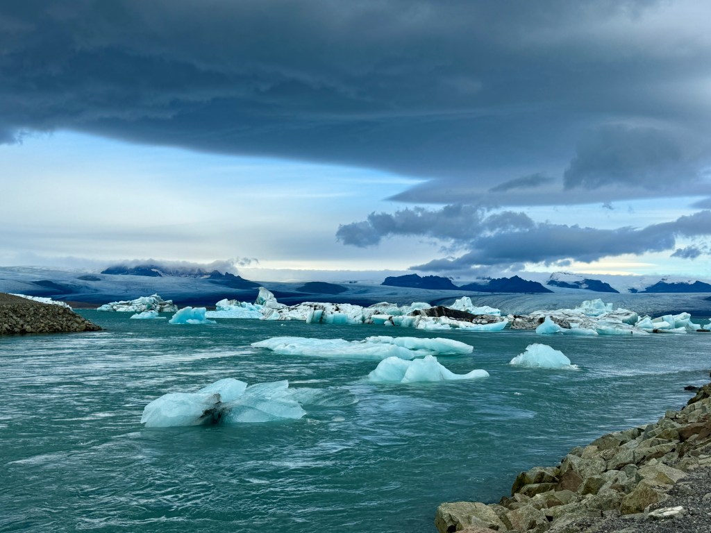
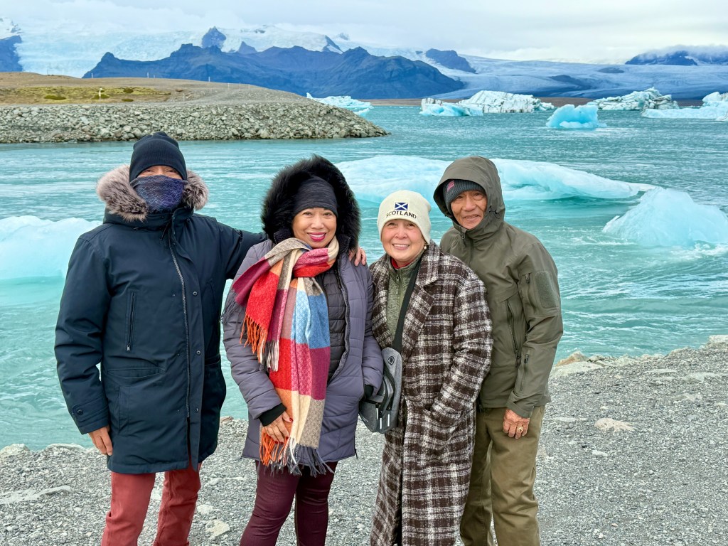
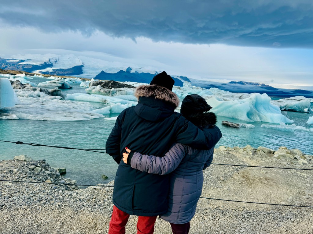
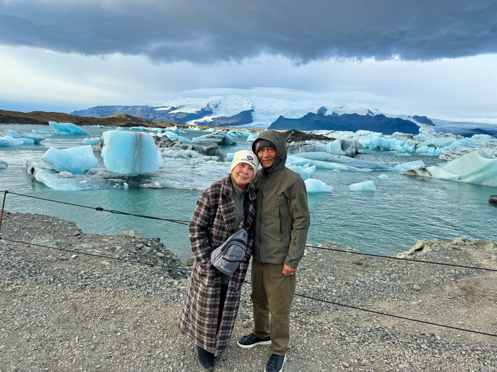
From the beach, we walked about half a mile to Glacier Lagoon. Surprisingly, the weather was cooperating this morning. It was windy and a sudden strong gust of wind almost knocked me down! The path was noticeably filled with tourists from all over the world! We admired the Asian tourists who wore fashionable cold weather apparels.
A result of global warming no doubt! The floating iceberg come from the glacial mountain and are broken due to increasing temperatures. In some areas, many glaciers have receded hundreds of meters if not thousands!
Our tour guide and driver, Askje, orienting us before our road travelFrom Reykjavik, we drove south along the coast of the island
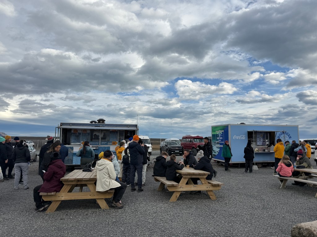
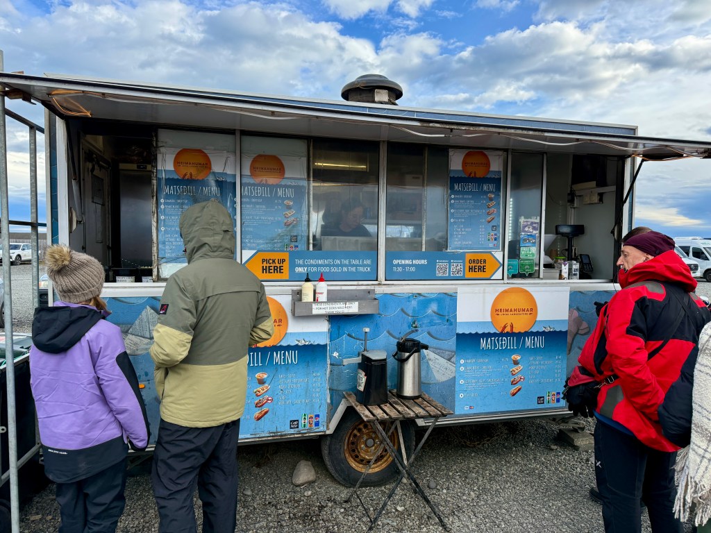
We were famished from all that walking but we had to wait for the food trucks to open at 11:30 am. I stood in line to buy lobster soup and Oya went to the other food truck to buy fish and chips. By the way, it is very expensive in Iceland more than most European countries! One reason is that they import almost everything. They cannot grow any crops due to the harsh weather. Iceland’s main sources of income are tourism, fisheries, and aluminum production.
One small cup of lobster soup cost $20Food truck
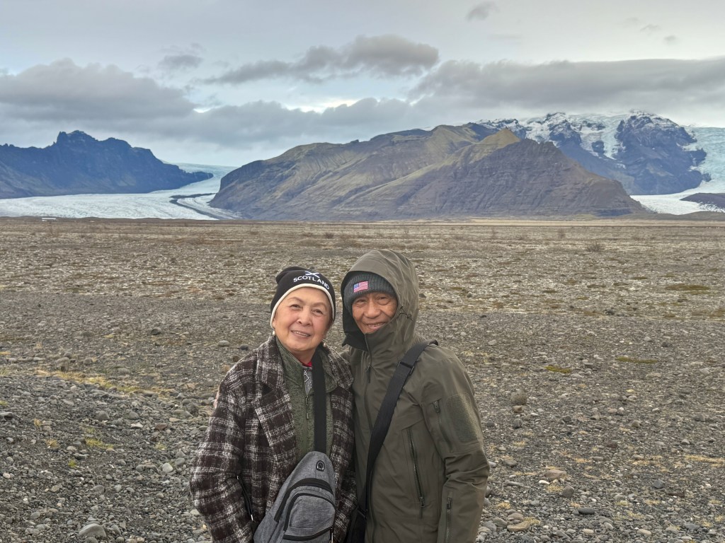
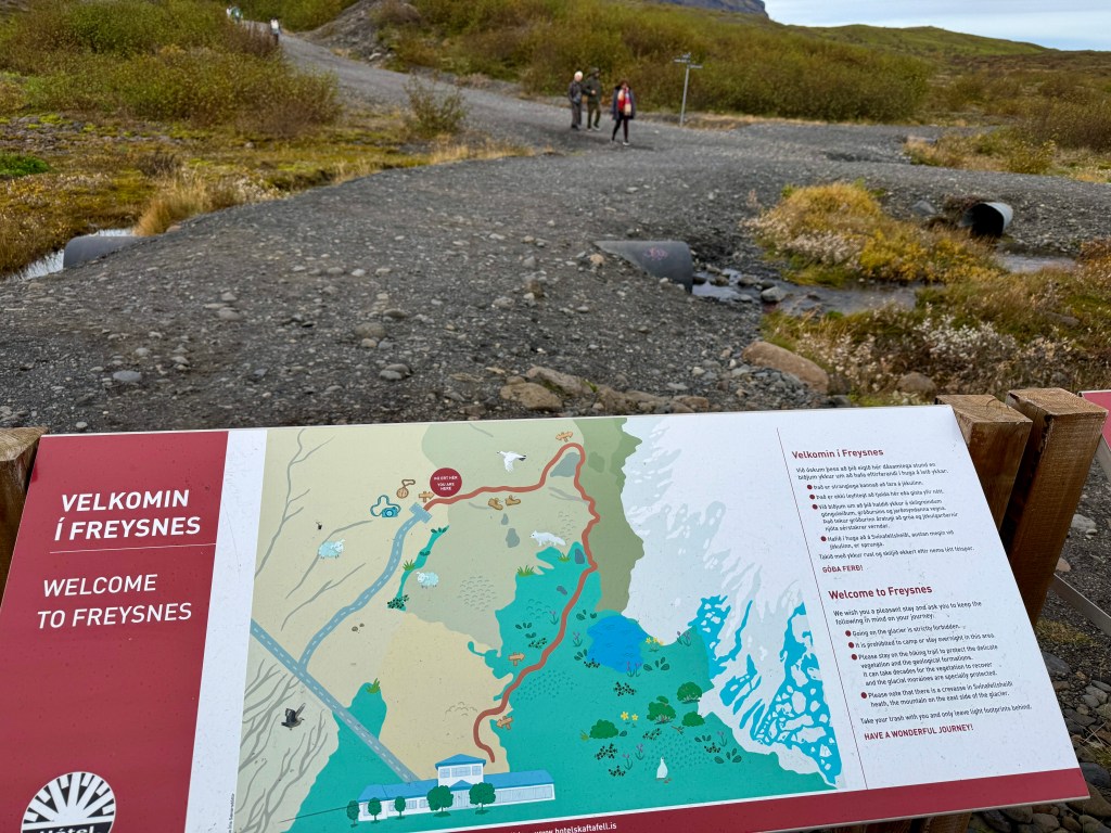
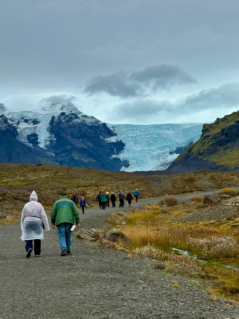
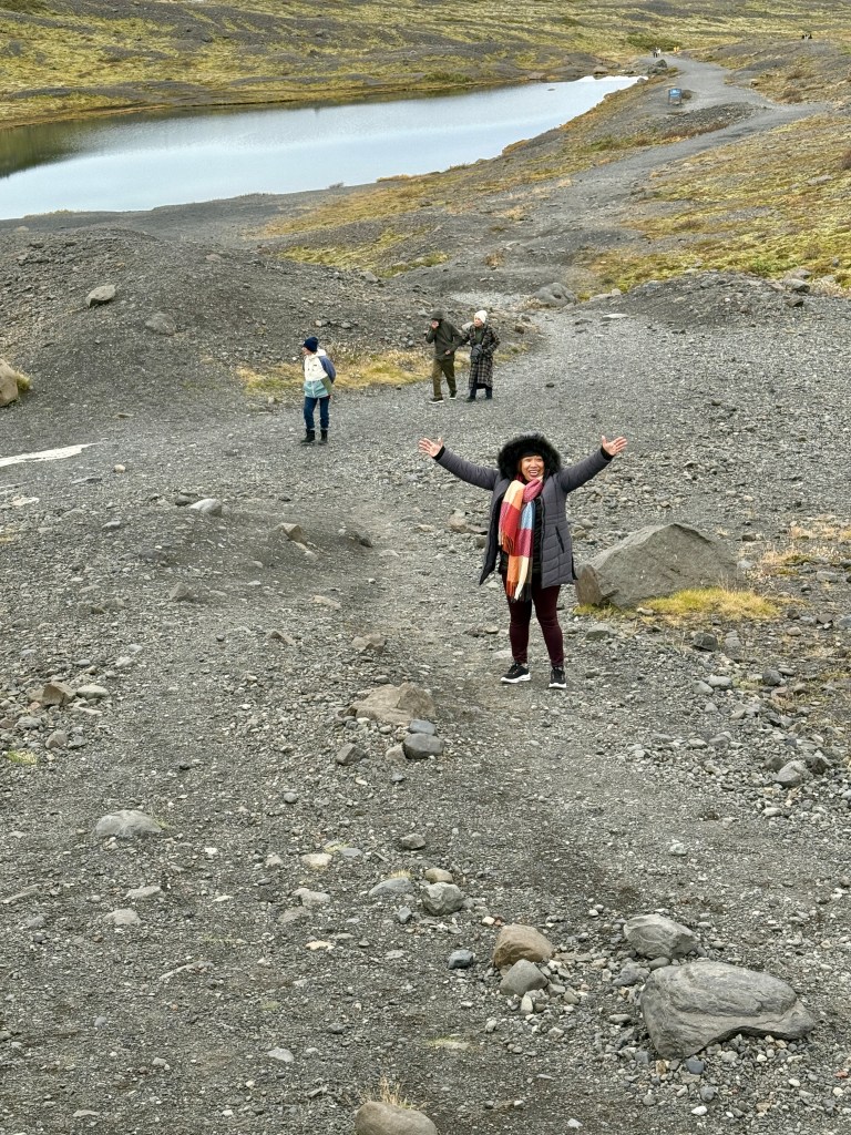
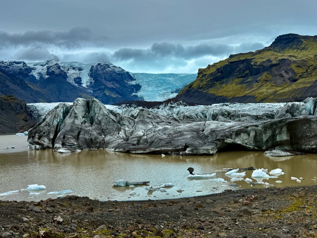
Our last stop for the day was in Vatnajökull National Park where we visited another glacier area in Freysnes. Tired from all the walking we did in the morning, reaching this one was a challenge since you had to walk close to a mile in a sloping rocky road! But we did it!
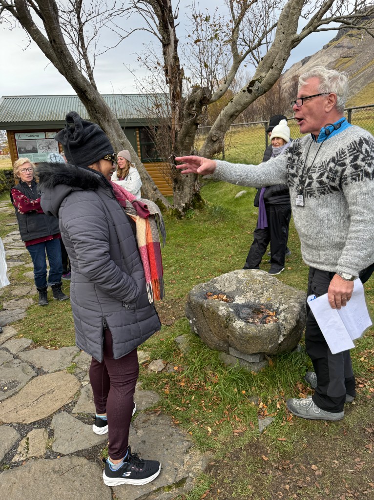
Before we went back to the hotel, we stopped by an old chapel with a beautiful albeit smaller waterfalls in the background. Askje “baptized” each one of us and “christened” us Icelandic names!
A common sight along the highway – beautiful scenes of colorful homes with majestic mountains in the background Askje filling up his water bottle from the creek. You can drink tap and river water here
We went back to our hotel and that night I enjoyed my lamb stew!
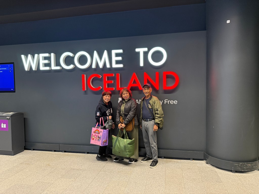
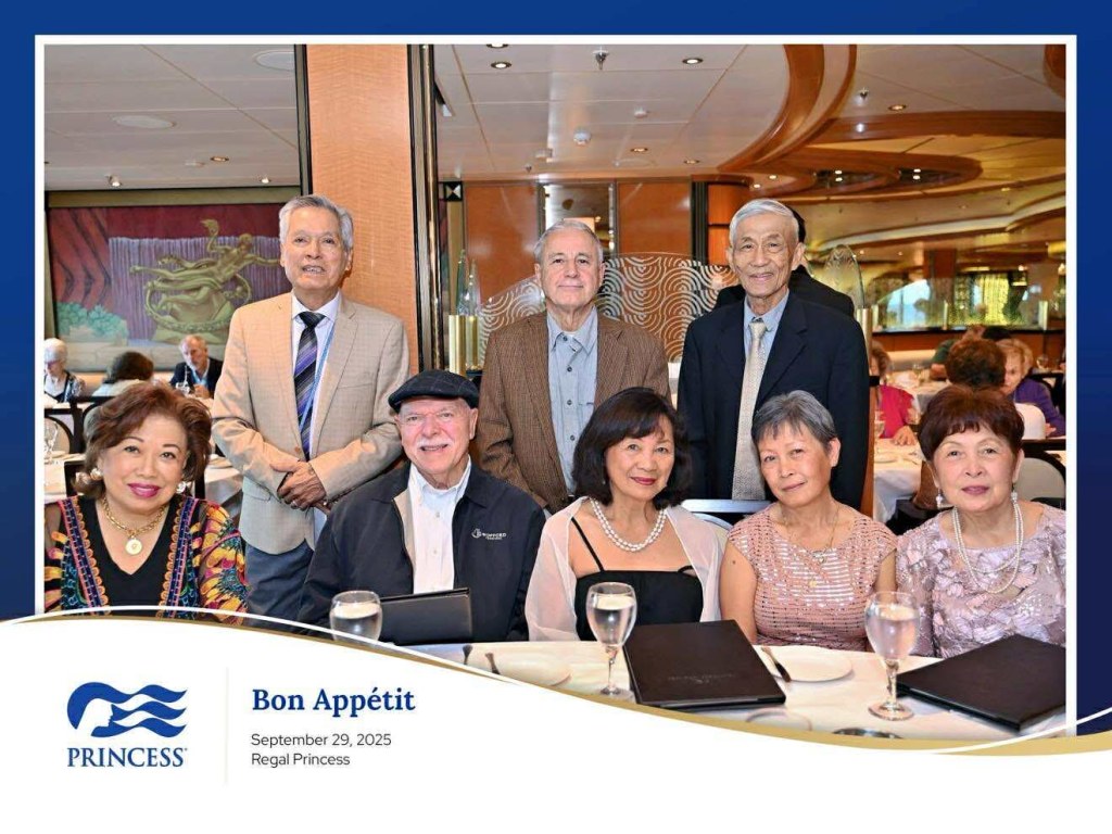
After our cruise with the Regal Princess where my wife, Trini and seven other couples celebrated their 50th Anniversary of their arrival in the U.S., Trini, Oya and Tommy Holgado and myself flew to Reykjavik, Iceland.
Nicknamed the “Land of Fire and Ice,” Iceland is home to volcanoes, glaciers, geothermal hot springs (like the Blue Lagoon), and lava fields. Reykjavik is the only capital city in Western Europe without a McDonald’s franchise, as the last one closed in 2009. The entire population of the island is less than 500,000. According to the Global Peace Index, Iceland is the most peaceful country in the world and has no army, navy, or air force.
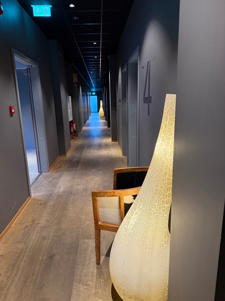
Our hotel roomThe hotel corridorWaiting for the tour driver to pick us up
Our travel agent from California, Cesar Gatchalian, booked us this Iceland package. Cesar has been really very diligent with our bookings, the reason why we kept going back to him. We were picked up at the airport and taken to our hotel in the capital city of Reykjavik. The weather was gloomy, windy and cold. That night we were booked to “try” and see the Northern Lights (Aurora Borealis) which we’ve seen before (hazy) during our cruise in Norway and vacation in Maine. We were hoping we’d be able to see a more vivid display of this phenomenon. At 9:00 pm we were picked up from our hotel and driven for about an hour and a half outside the city where lights are minimal or non-existent. We waited and waited freezing under the stars but the elusive Northern Lights refused to appear. Again, we were disappointed.
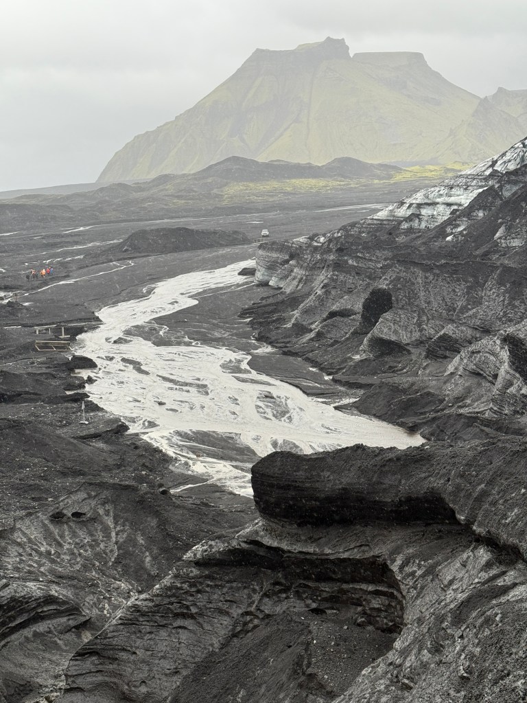
The following morning after breakfast, we were picked up from our hotel by a mini bus along with 14 other tourists from the Unites States, Spain and Australia. We drove along the southern coast of the island toward Kirkjubaejarlaustur. The rain was on and off and the temperature was heading south. We stopped in a small town called Vik (much shorter than Kirkjubaejarlaustur). From there, two monstrous off-track jeeps took us to one of many glacier areas in Iceland.
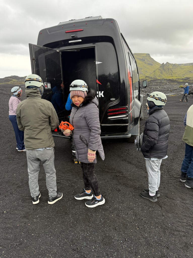
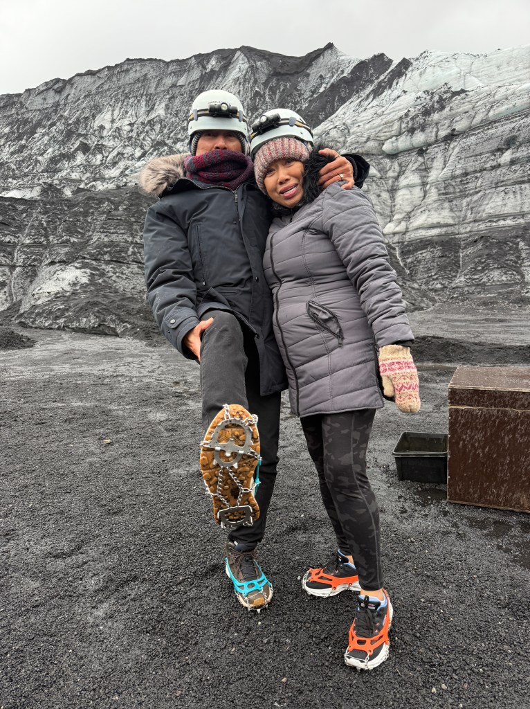
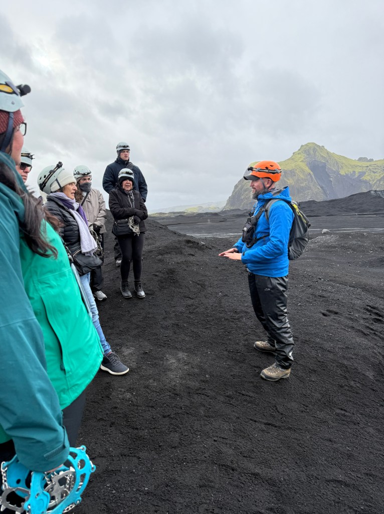
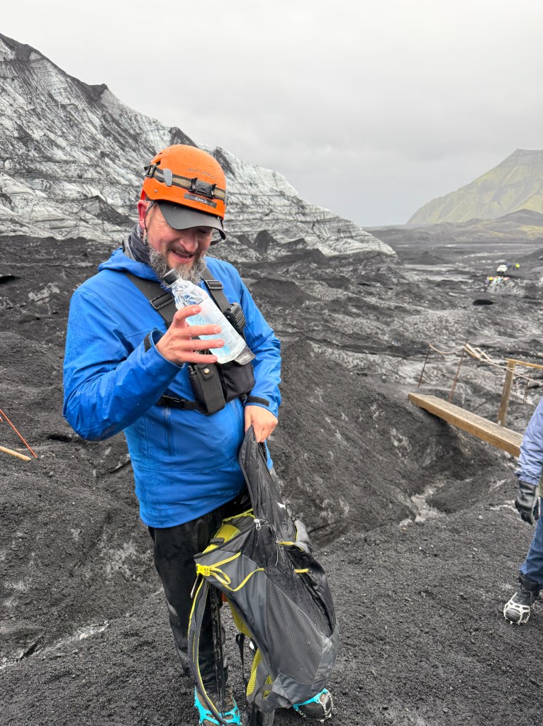
Our group of 16 were divided in two groups of 8. The tour guides gave us the mandatory safety lectures and provided us with hard hats and crampons (a shoe contraption with spikes to help your footing on slippery trails).
Showing off our crampons
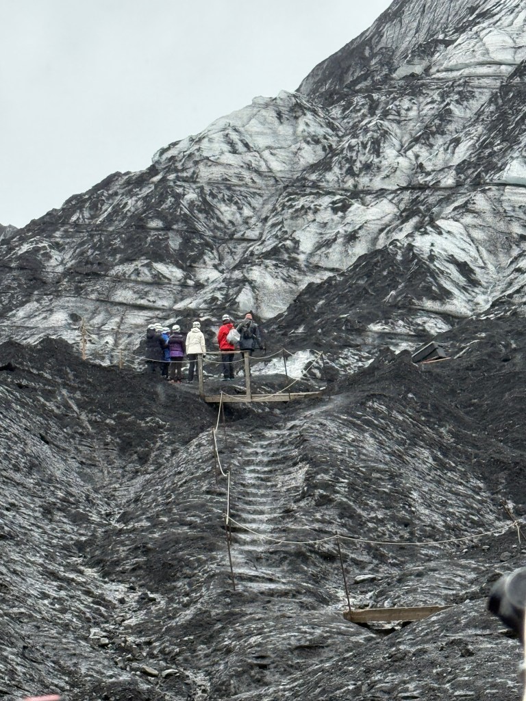
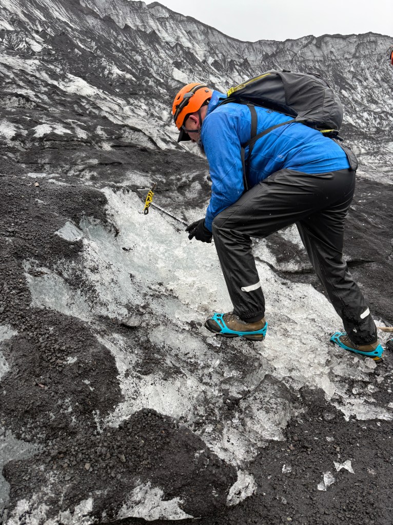
Around this time, it was again drizzling and getting windy. Our guides led the way uphill with a gradual slope. Then I realized why we were wearing crampons! We were actually treading on ice! Thankfully, they had small ropes to hold on to during the ascent. Our group had to stop occasionally to let other groups going the opposite way pass as the trails were narrow.
Safety briefingSlippery slope
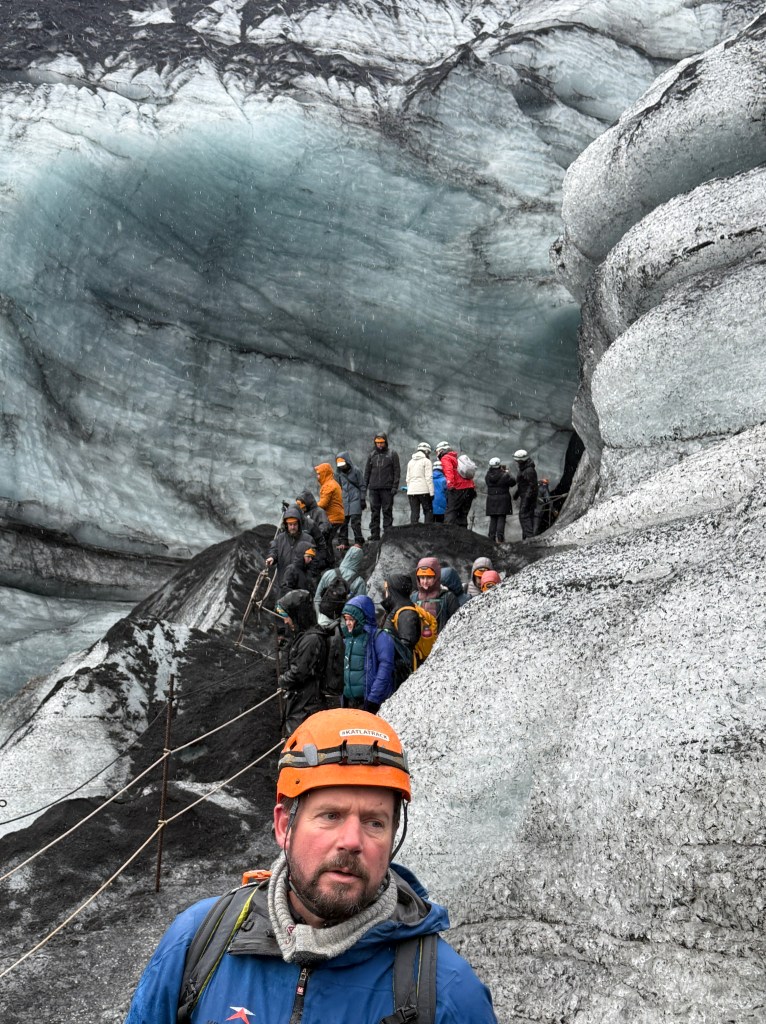
I was worried that Trini and Oya might not make it to the Ice Cave, but they did! The tour guide’s great sense of humor immensely helped our morale. The guy was funny constantly cracking jokes up to the very top. And our efforts eventually paid off, the view from the cave was amazing and the cave itself was something we’ve never seen before. The shimmering bluish walls and the roaring river underneath us was too beautiful to describe.
On our way back to our vehicles, the guides stopped and started breaking ice from the ground. They each gave us a plastic shot glass and one of them pulled a bottle of their traditional alcoholic drink called Brennivín, a clear, unsweetened schnapps nicknamed “Black Death“. This was to celebrate that the group made it to the cave safely.
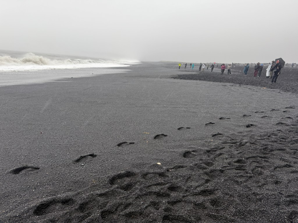
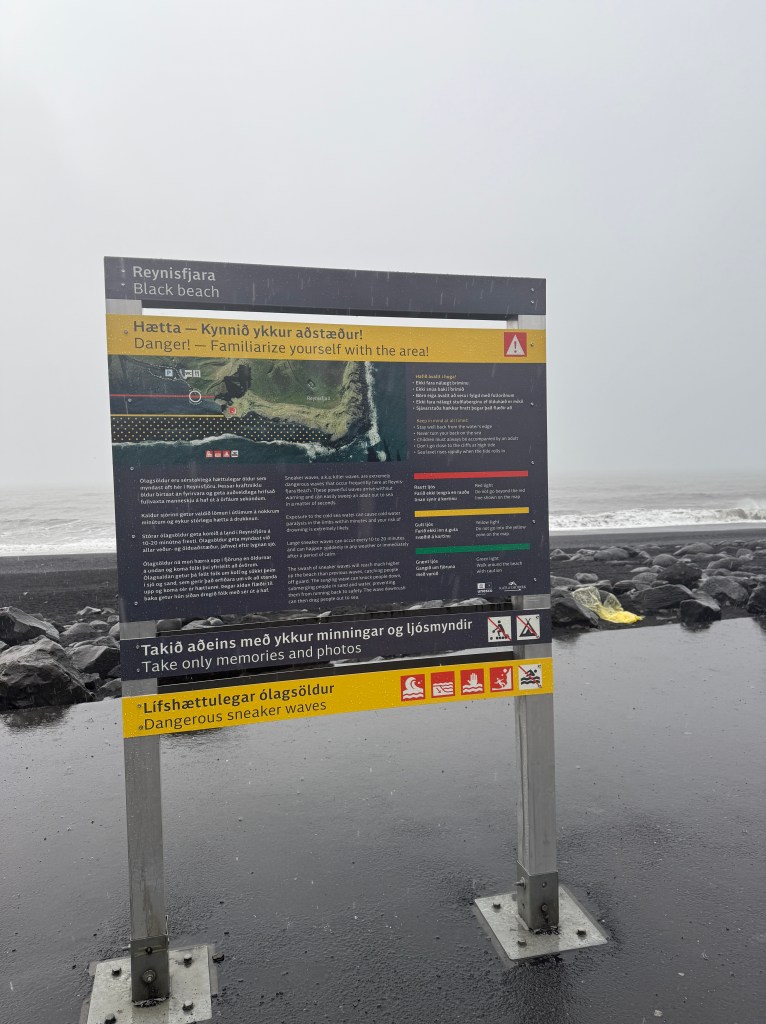
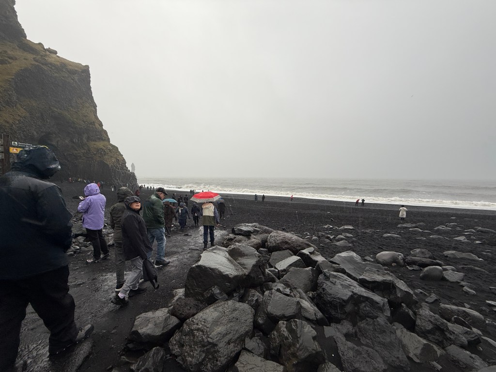
After the quick celebratory toast Skàl (pronounced like scowl), we went back to our vehicles to warm ourselves up. By this time, we were soaking wet and shivering like wet kittens! We headed for Reynisfjara, one of the most famous beaches in Iceland known for its black volcanic sands. When we reached the beach, the rain started to pour! Our enthusiasm was slightly dampened and we were hesitant to leave the warmth and dry environment of the jeep but we got off and were glad we did!
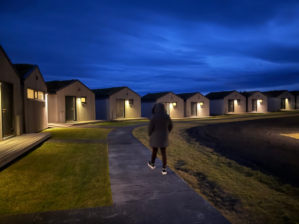
We saw the most beautiful black beach being pummeled by the angry ocean waves. From a distance were two stone figures jutting out from the roiling and turbulent waters. The walls of the cliffs seemed to have been sculpted by a maestro. We didn’t stay very long since the rain was getting stronger. Grudgingly we went back to the our hotel rooms where I immediately took a very hot shower! Our group met at Magma Hotel‘s cozy dining room and enjoyed the sumptuously prepared Icelandic cuisine!
Our “hotel” rooms, individual cottagesThe view from our hotel
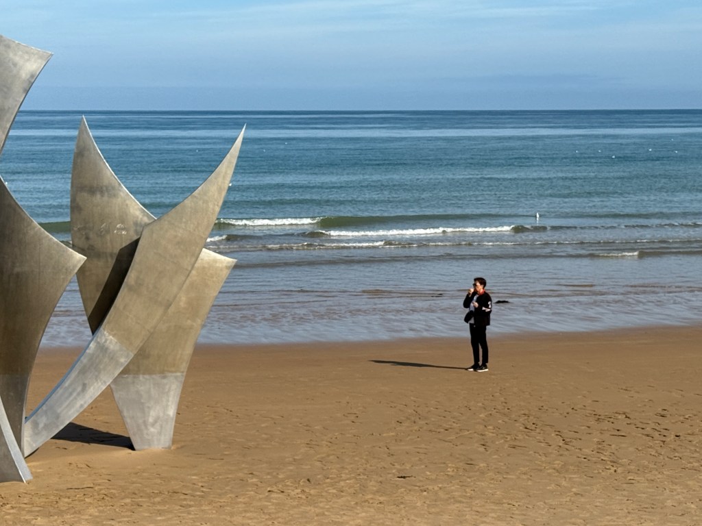
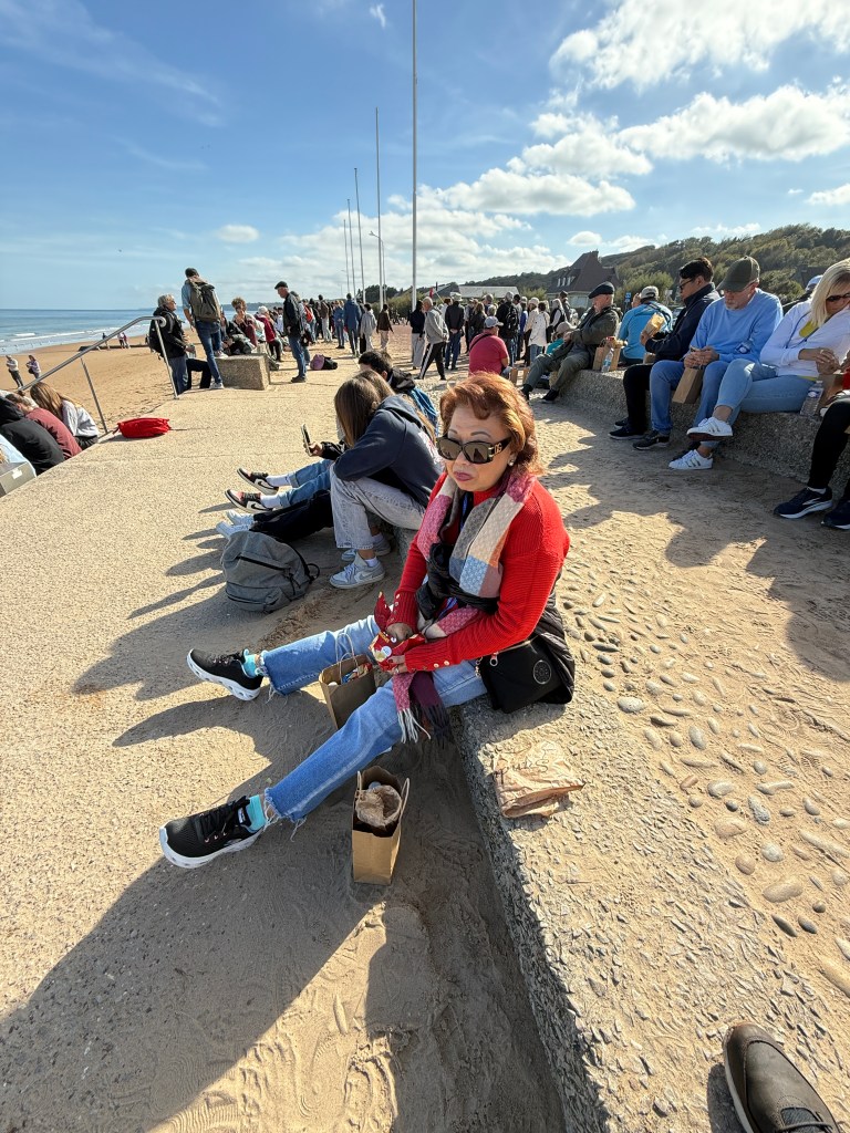
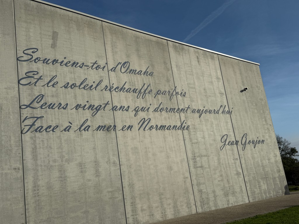
Our group in front of a memorial in Omaha BeachWe had bagged lunch of ham and cheese sandwich
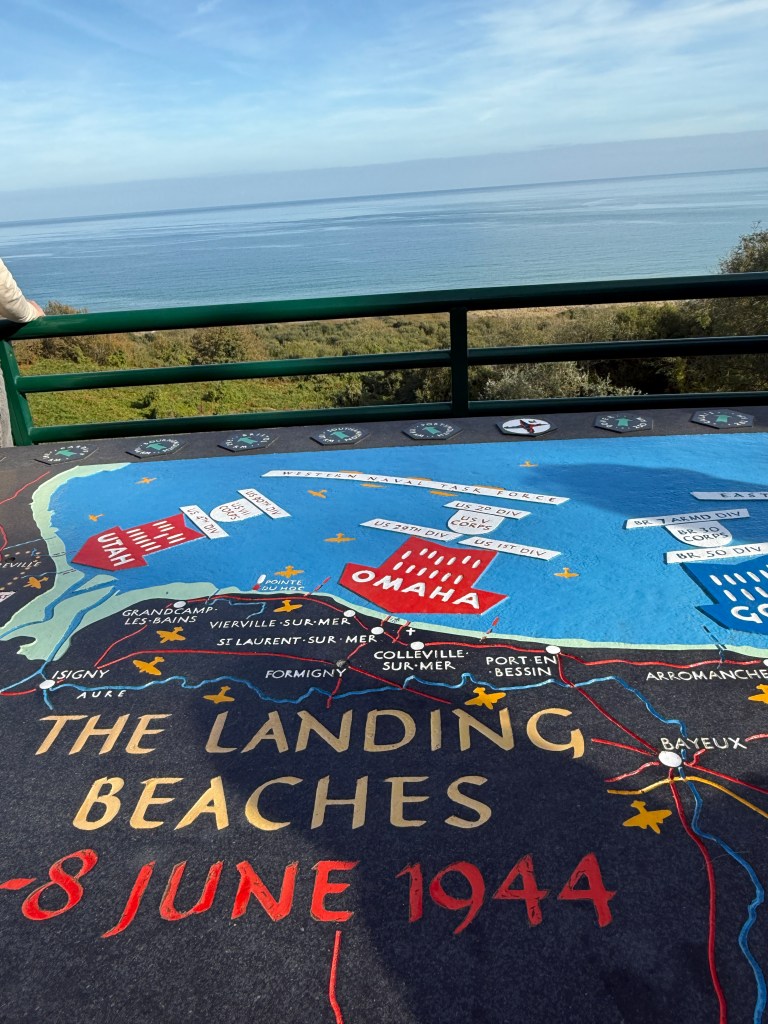
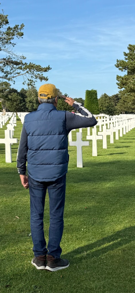
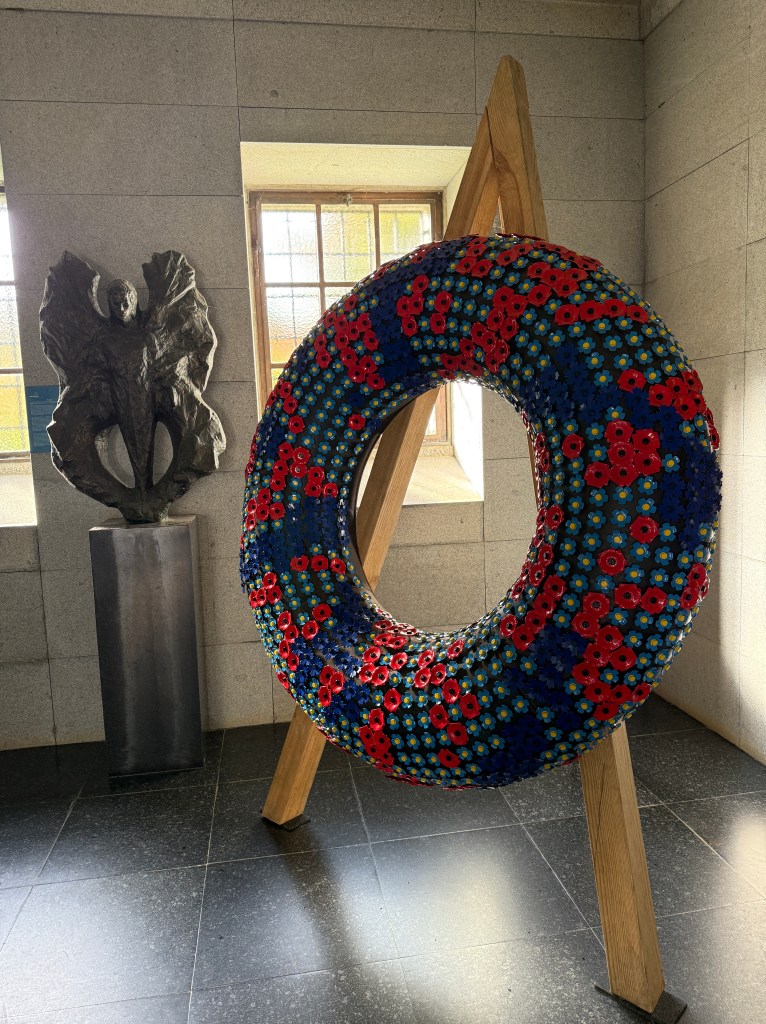
As I mentioned in my earlier posts, the ship’s itinerary was changed due to a storm. The port calls to Orkney Islands and Edinburgh were canceled, the ship’s last port was Le Havre, France. We’ve been wanting to visit Normandy, France where our WW2 fallen heroes are buried. I was able to book online and most of our group (total of 12) decided to join. The cemetery is one of the many around the world that is managed by American Battle Monument Commission (ABMC) where about 9,400 U.S. soldiers are buried! A staggering 70-85 MILLION people around the world perished during this war!
Upon entering the cemetery one can feel the solemnity of the place. Tourists talk in subdued tone as if afraid to disturb the resting heroes in their hallowed graves. We viewed a movie about D-DAY and it touched everyone inside the small theater. It was difficult to comprehend how many soldiers and civilians died during that time and why it ever happened.
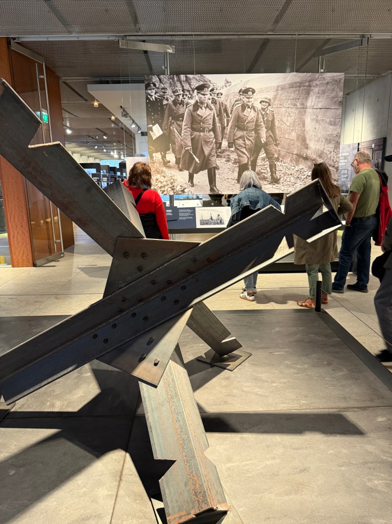
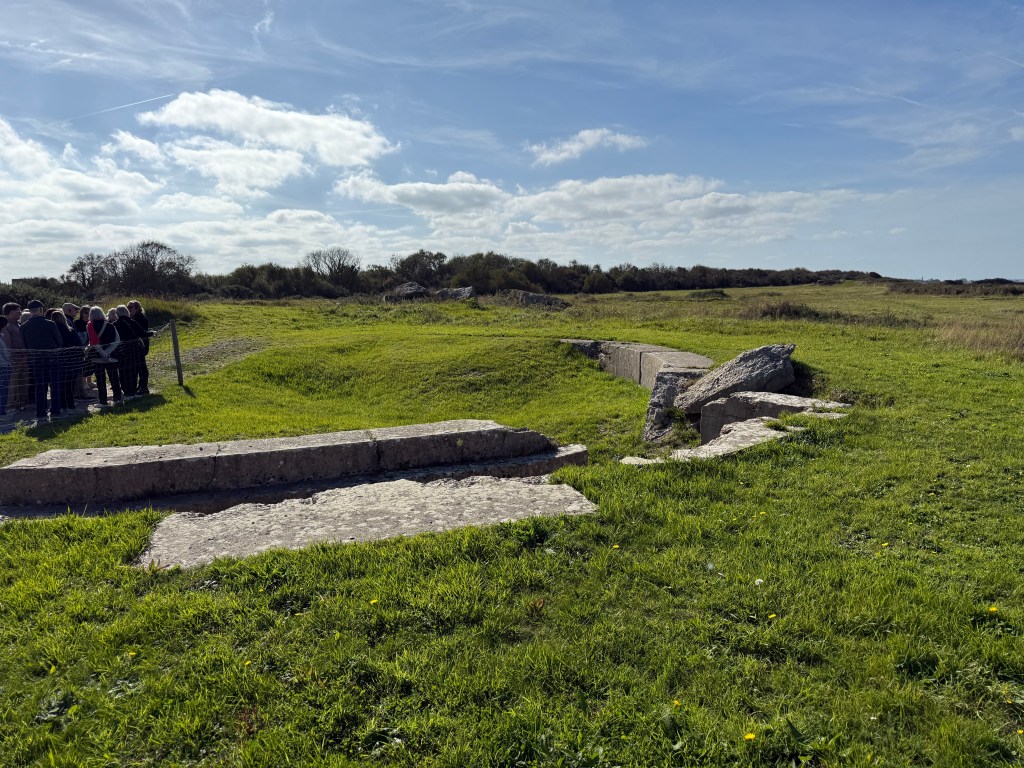
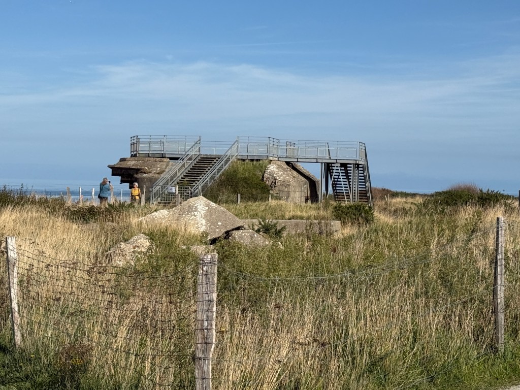
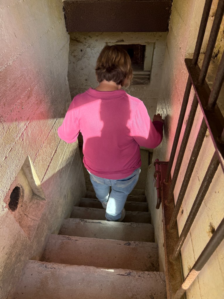
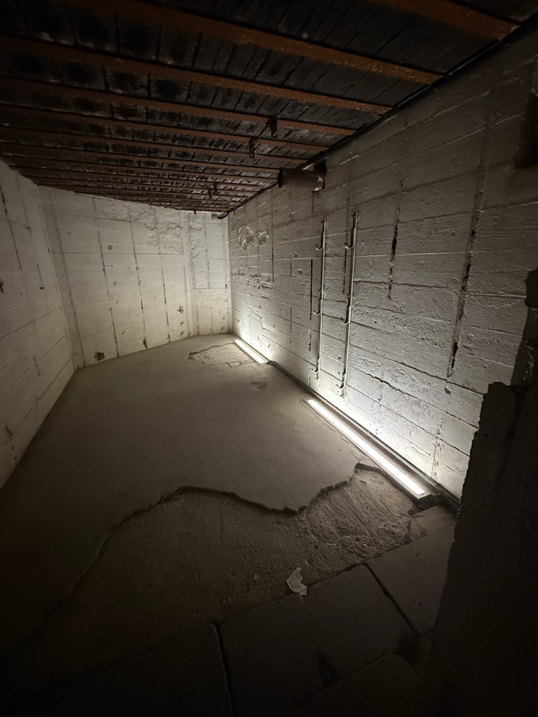
Our walking tour took us to the edge of the cliff where the Germans defended the place. We saw “impregnable” bunkers and pieces of artillery. It reminded me of the movie “Saving Private Ryan”. Young men barely out of their teens bravely fighting for their countries!
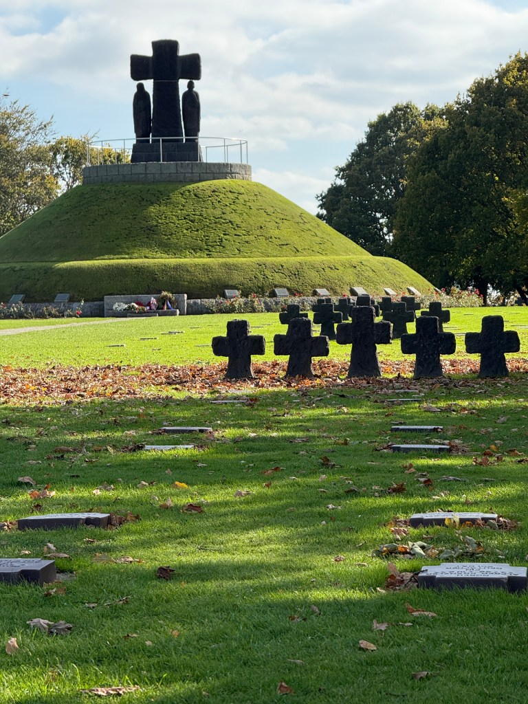
We also had the opportunity to visit a German cemetery that not many tourists visit. It was a much smaller place than the American cemetery but it was well designed.
The German Cemetery
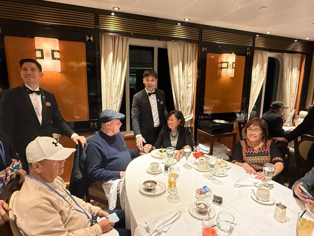
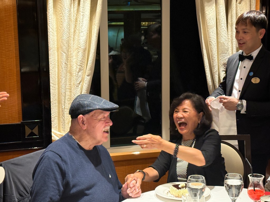
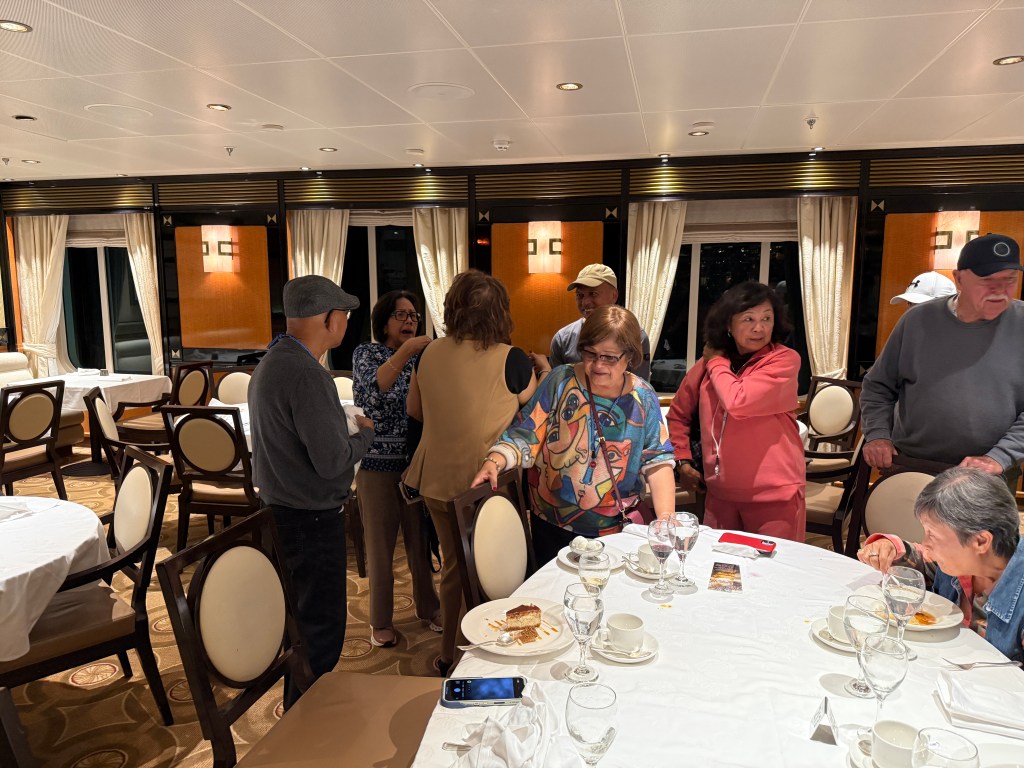
After the tour, our bus took us back to the ship for our last night. We collected money to give to our hard-working waiters who provided us with exceptional service every night.
Saying our goodbyesThe restaurant servers going around saying their goodbyes
That night two couples from our group also celebrated (belated) their wedding anniversaries – Mike and Nelda Hope and Tommy and Oya Holgado.
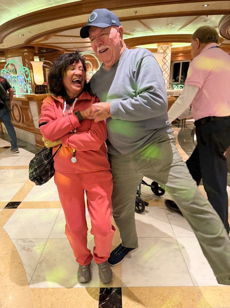
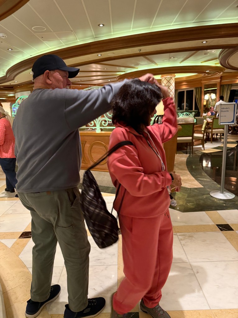
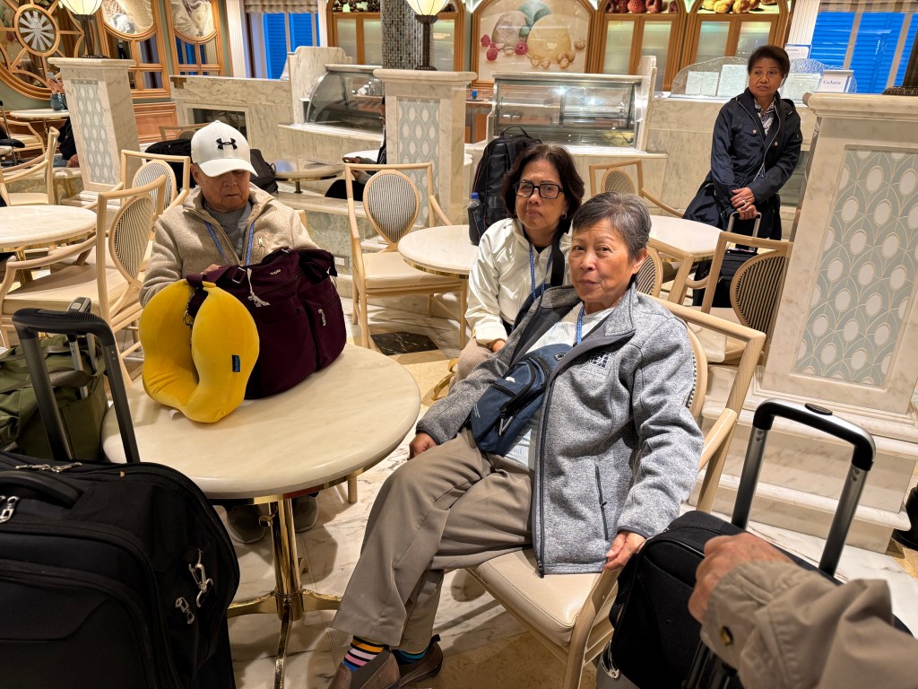
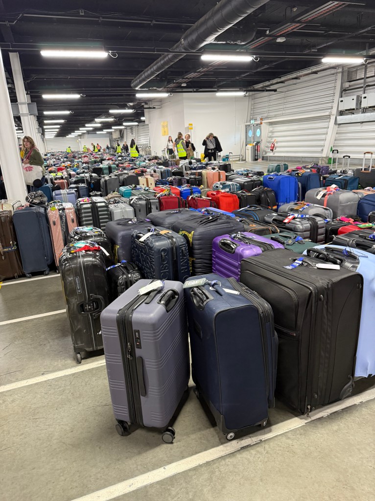
Tommy and OyaMike and NeldaIt’s hard to say goodbyeThe last danceDance like no one is watchingWaiting for our disembarkation number to be calledDisembarkation went smoothly and we were able to find our luggage right away
A bus took us to London Heathrow International Airport for our flight to Reykjavik, Iceland where we will spend five more days.
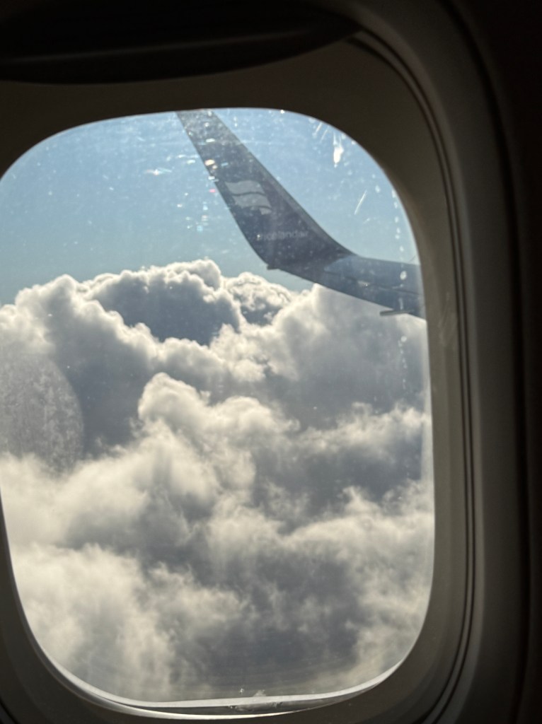
Our airline Iceland Air
We discussed that at our advancing ages that our group should meet every two years from now on. I smiled and remembered the saying “Man plans, God laughs!”
Although only eight couples made it to the 50th anniversary of their arrival in this country, we enjoyed reconnecting with everyone. The nurses had fun reminiscing their early days in South Carolina. We had laughs and sadness remembering those who have already finished their journey.
From British Pounds to Euros to British Pounds to Euros. Thanks to whoever invented the “plastic money”, it makes it easier to purchase souvenirs!
Colorful homes in Cobh with our ship, Regal Princess, in the background (Photo by Erna/Onie Marasigan)
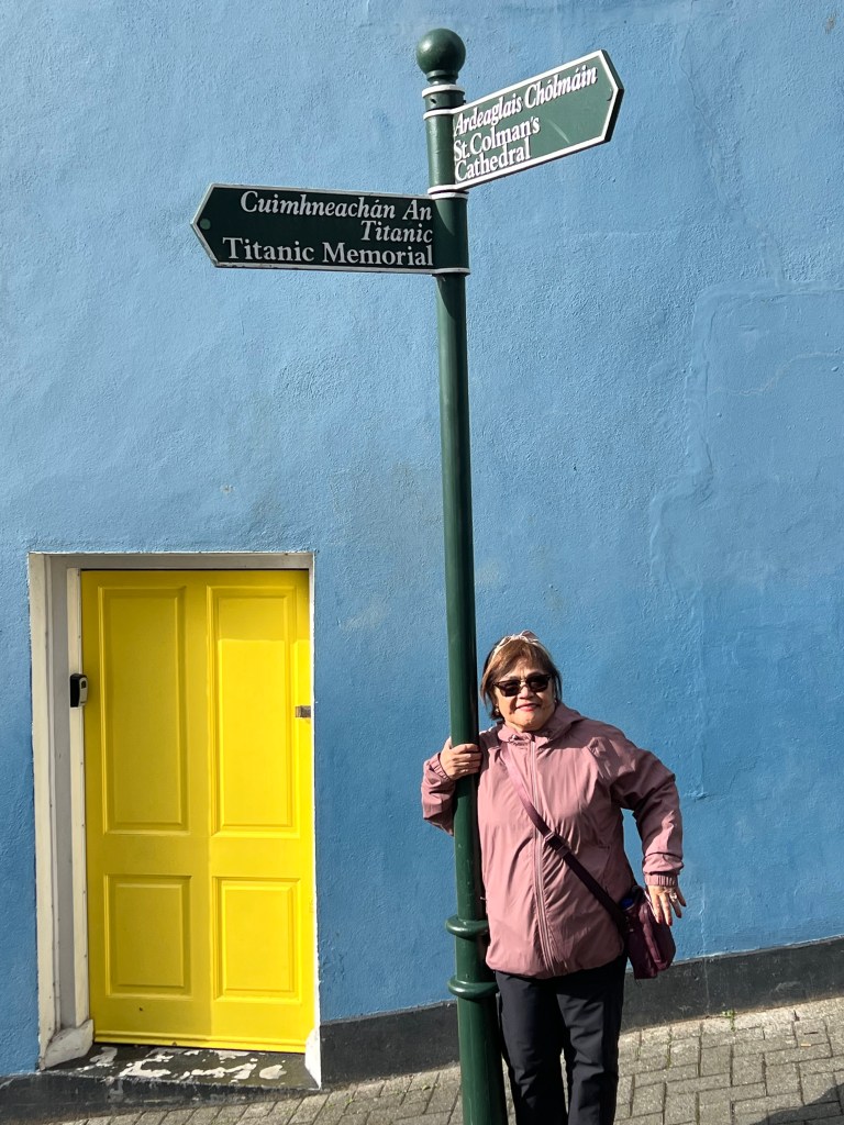
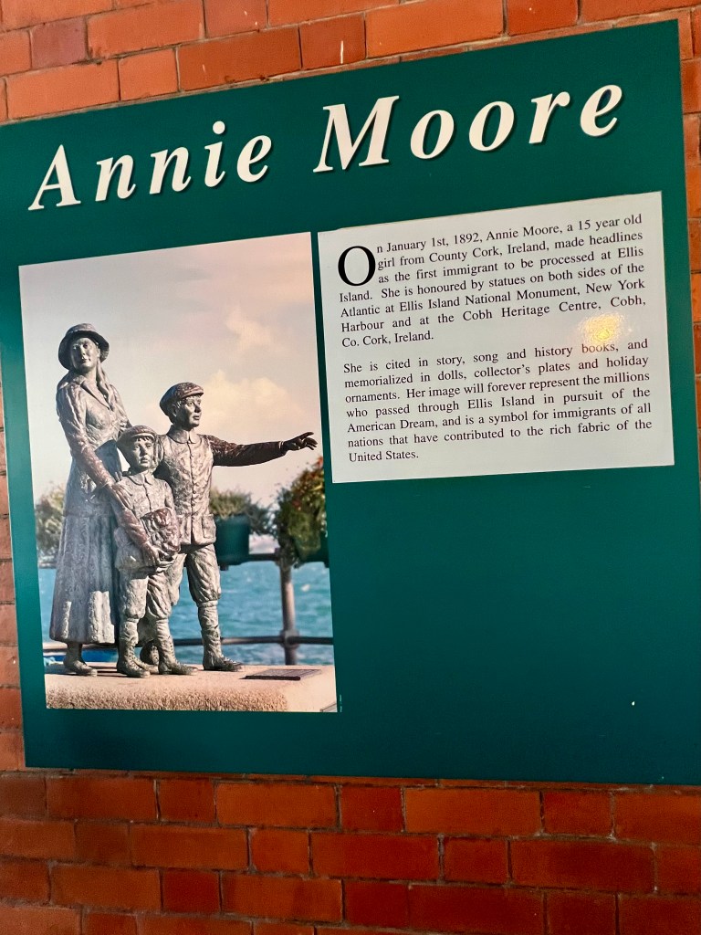
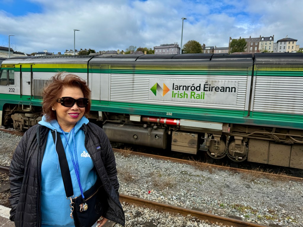
The Port of Cobh is not only a gateway for cruisers but also a destination rich in history and charm. Whether you’re tracing the steps of Titanic passengers, exploring the quaint town or simply soaking the harbor views, Cobh has something to offer to everyone. Interesting to note that Cobh was the single most important port of emigration from Ireland. We docked in Cobh at 7:00 am and the gangway opened a half hour later. Those who didn’t book any ship’s excursion either stayed in Cobh or took the 25-minute train ride or bus to go to the city of Cork.
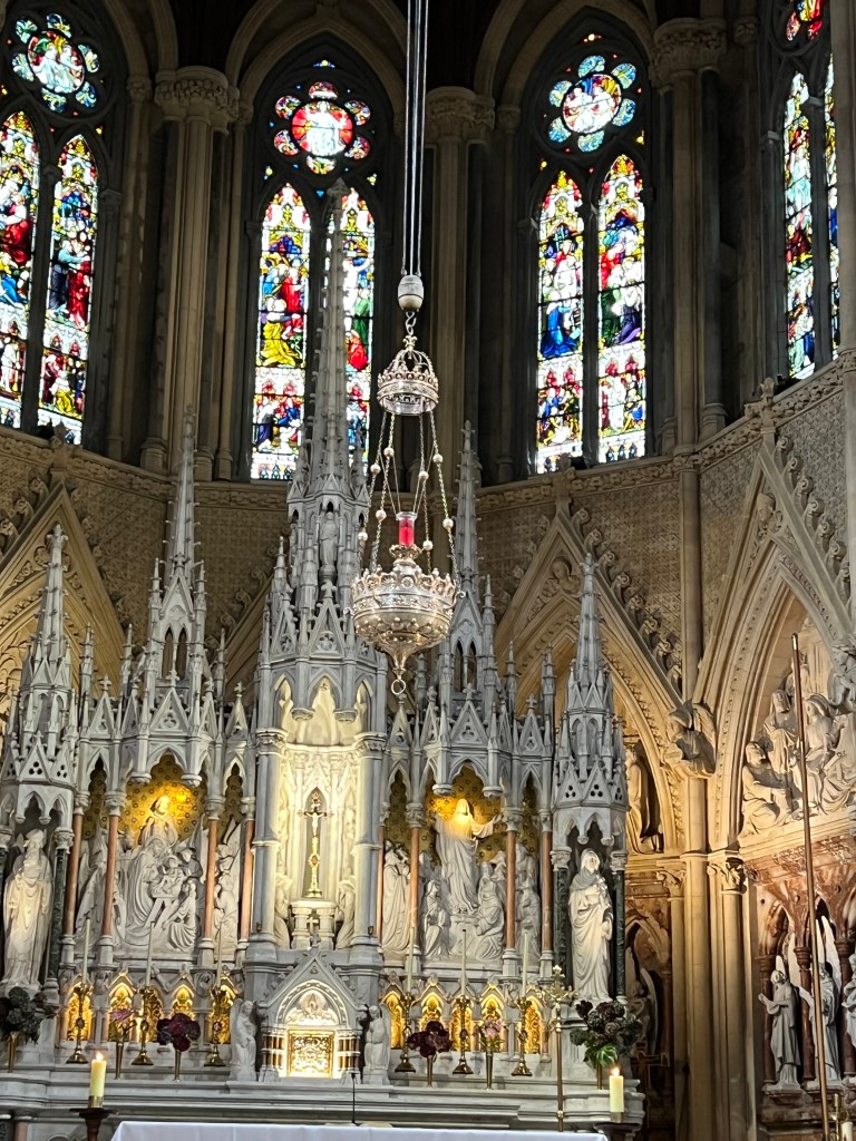
St. Coleman’s CathedralMemorial for the Lusitania Interesting trivia
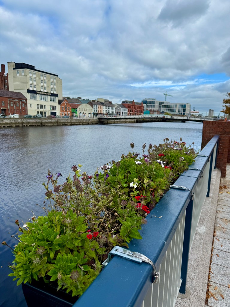
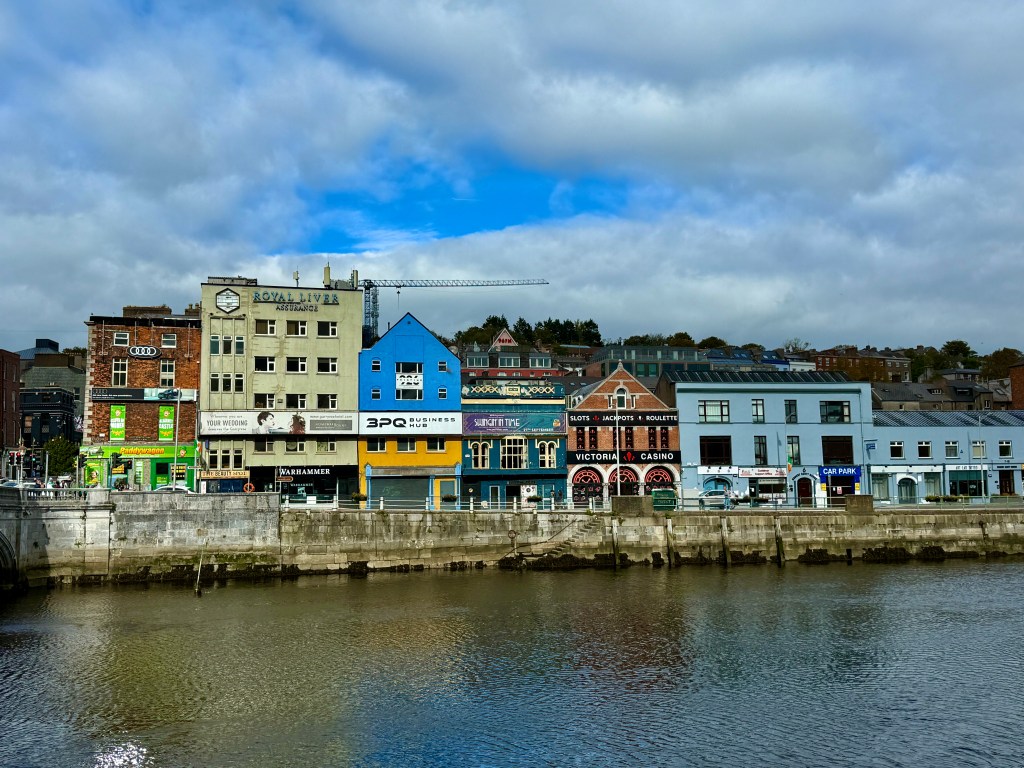
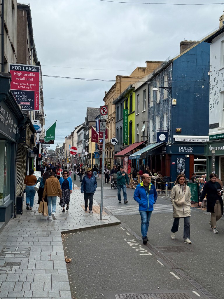
Those who decided to stay and explore Cobh were spared the crowded train to Cork. Trini and I decided the latter. For the first time, the sun came out occasionally requiring you to wear sunglasses. The temperature though was pleasant, in the high 50’s F. It was perfect for our leisurely stroll in the beautiful city. Cork is the gateway to romantic Ireland. In a land where fable and fact blend to become folklore, it was near Cork that the great Tuatha De Danaan, a race with magical powers was driven underground by the conquering Celts.
While strolling the narrow streets of Cork, we noticed that many of the locals were not bothered with the cold weather, most of them just wearing a single layer of clothing whereas I had three layers!
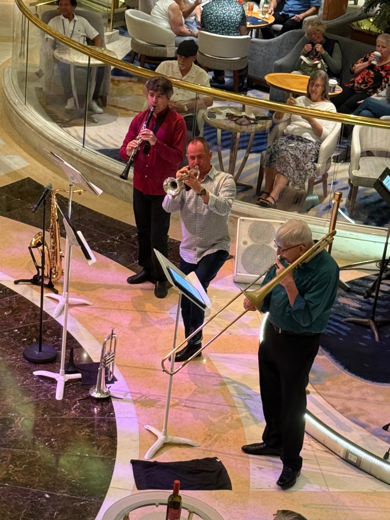
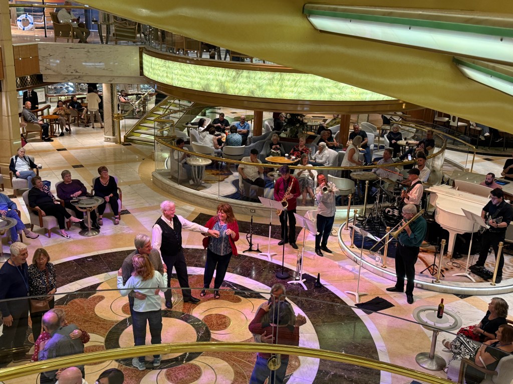
When in between ports, the ship finds ways to entertain the guests – games, lectures, entertainment and of course shopping bargains. Whatever your interests are, chances are you’ll find one. Other cruisers just sit in the quiet nooks of the ship reading their favorite novels in their ebooks.
Center photo above is Aaron, the ship’s cruise directorOnie and Erna joining the morning Zumba class to shed off some of those unwanted calories
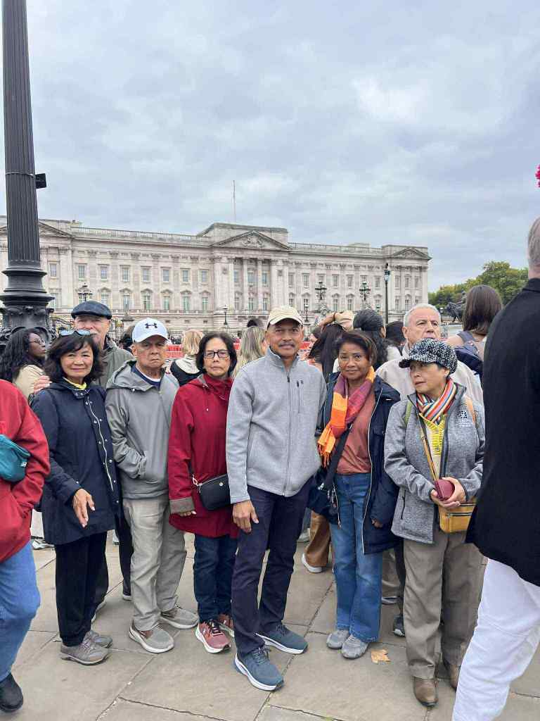
Late post: Nelda and Mike Hope, Maria and Egidio Bernardi, Vicky and Eddie Baumann, and Manny and Offie Lopez flew to London two days prior to our cruise and joined tours to explore the city and its surroundings.